Login

Forgot your login?

Cookies have to be accepted!
Your browser's cookie functionality is disabled. Please enable this functionality.

Not a member yet?

Register now
Login

Available for registred users only

Log in to use this feature.

Forgot your login?

Cookies have to be accepted!
Your browser's cookie functionality is disabled. Please enable this functionality.

Not a member yet?

Register now
Filter
Categories
Advanced filters
  • Distance (km)
  • Height
Save filters Reset filter

TrackRank

QRCode

Technical data

Distance9,3 km Height169 m Way down179 m Duration01:00 h:m Date21.10.2017
Scores Author Landscape Fun factor Fitness Technique

Statistics

305 Views Scores 11 Downloads Average
Rate
  • Track data sheet
  • Directions
  • Downloads
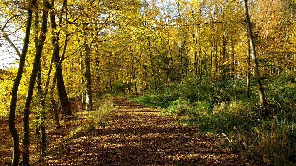
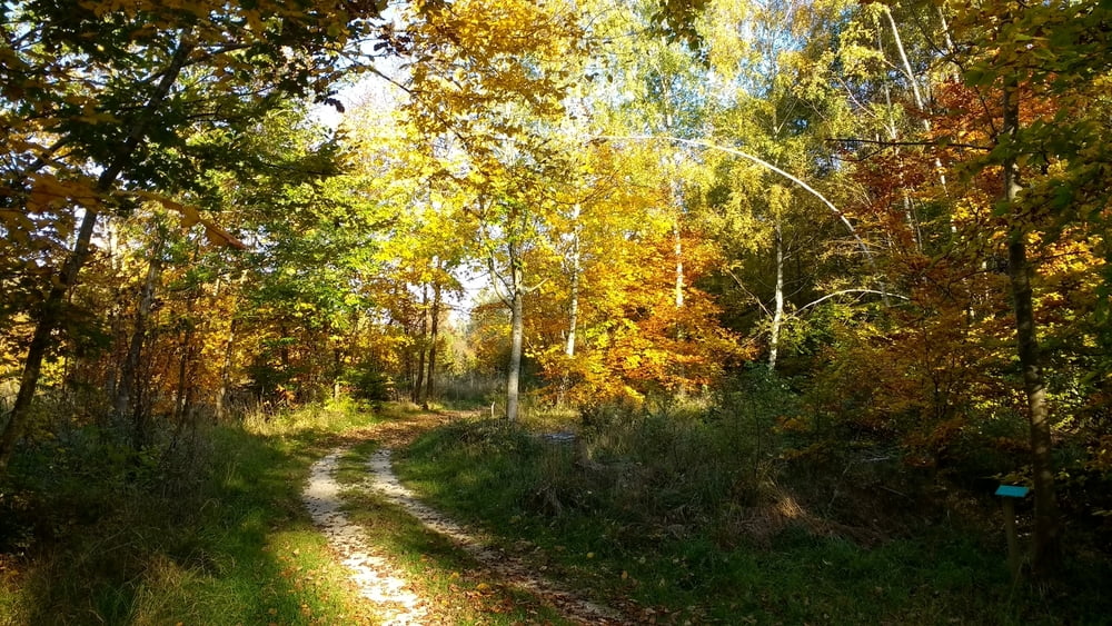
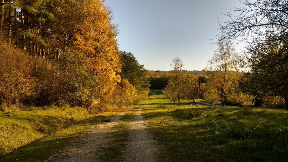
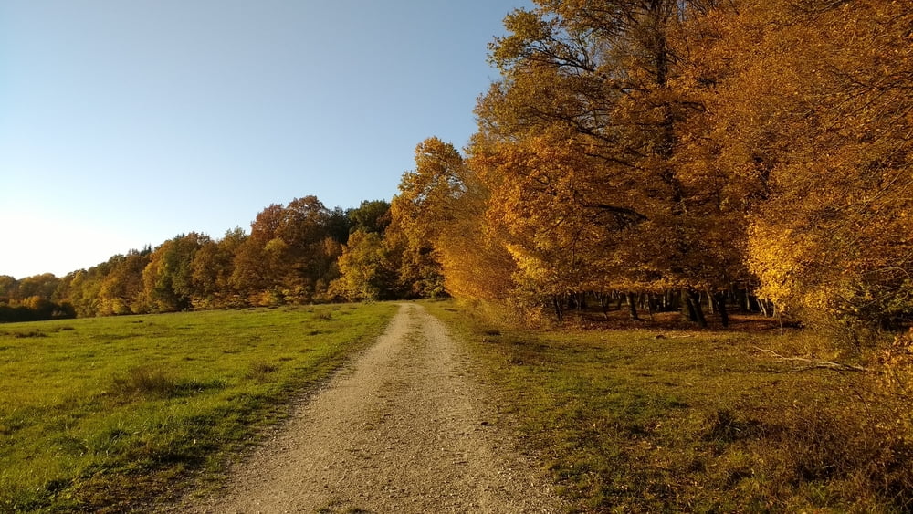
Schöne Joggingstrecke durch den Stadtwald auf dem Edelweißweg. Es geht vom der ehemaligen Standortschießanlge nach Hafenreut. Zurück geht es dann durch den ehemaligen Standortübungsplatz.

Tour gallery

Tour map and elevation profile

  • Open Street Map
  • Google
Minimum height 438 m Maximum height 562 m Detailed view

More about the tour author

JoachimDief
Member since 2016

Send private message

Comments

Ehemalige Stanortschießanlage der Bundeswehr in der Parkstadth. Derzeitige Nutzung nach Abzug der Bundeswehr: Solarfeld

GPS tracks

Trackpoints
  • GPX / Garmin Map Source (gpx) download
  • TCX / Garmin Training Center® (tcx) download
  • CRS / Garmin Training Center® (crs) download
  • Google Earth (kml) download
  • G7ToWin (g7t) download
  • TTQV (trk) download
  • Overlay (ovl) download
  • Fugawi (txt) download
  • Kompass (DAV) Track (tk) download
  • Track data sheet (pdf) download
  • Original file of the author (gpx) download

More about the tour author

JoachimDief
Member since 2016

Send private message
Share track
Add to my favorites
Remove from my favorites
Edit tags
My score
Rate
Track: Jogging auf Edelweißweg
Type: Running
Distance: 9,3 km
Evaluated on:
Duration:
Day(s)
Hour(s)
Minute(s)
Score: Landscape Fun factor Fitness Technique