Login

Forgot your login?

Cookies have to be accepted!
Your browser's cookie functionality is disabled. Please enable this functionality.

Not a member yet?

Register now
Login

Available for registred users only

Log in to use this feature.

Forgot your login?

Cookies have to be accepted!
Your browser's cookie functionality is disabled. Please enable this functionality.

Not a member yet?

Register now
Filter
Categories
Advanced filters
  • Distance (km)
  • Height
Save filters Reset filter

TrackRank

QRCode

Technical data

Distance8,0 km Height498 m Way down529 m Duration00:00 h:m Date20.02.2012
Scores Author Landscape Fun factor Fitness Technique

Statistics

927 Views Scores 60 Downloads Average
Rate
  • Track data sheet
  • Directions
  • Downloads

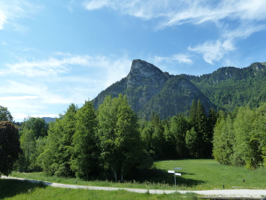
Sehr schöne Tour, leicht abgewandelt da Lift nicht fuhr. Empfehle nicht den direkten Aufstieg lt. Reiseführer! Besser Lift zum Kolbensattel (Öffnungszeiten beachten)! dann auf Königssteig zum Kofel.
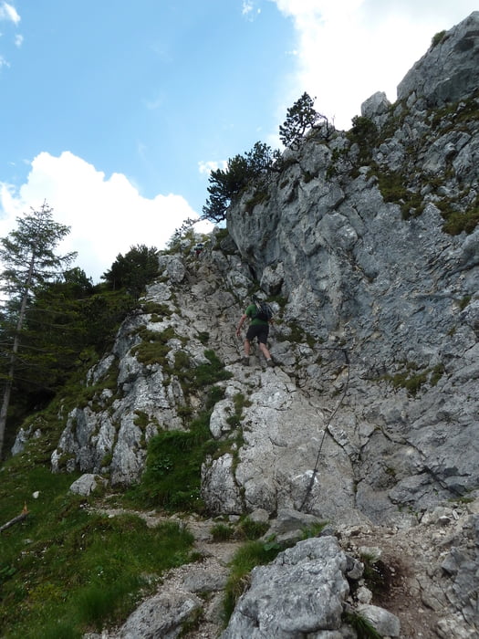
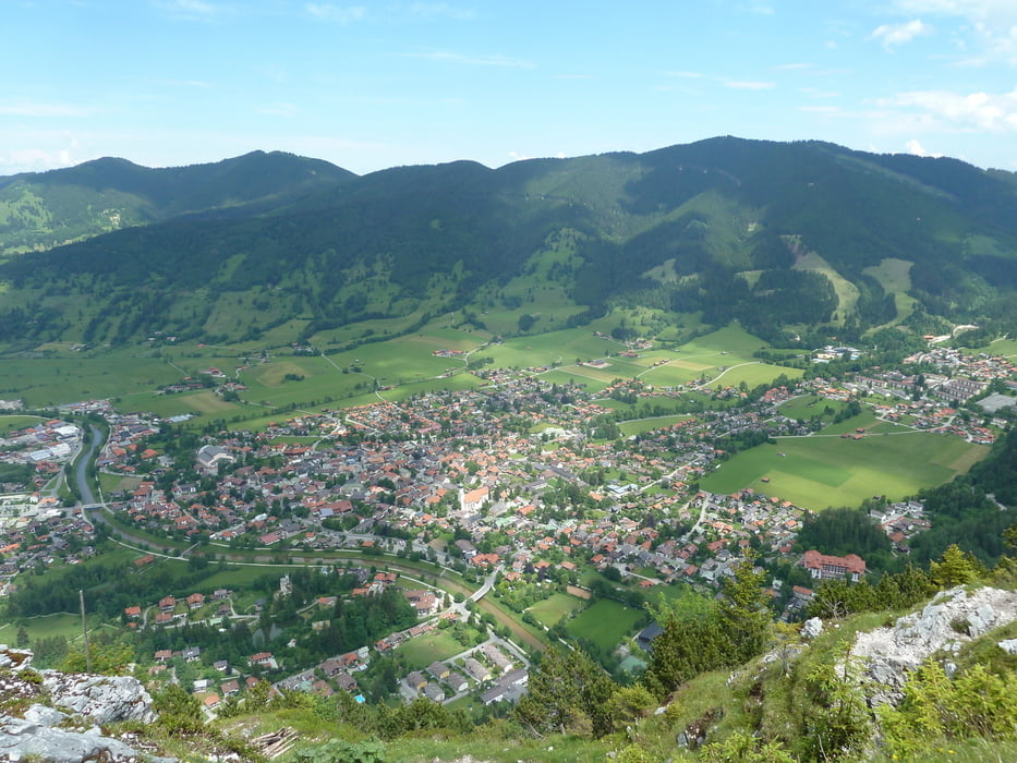
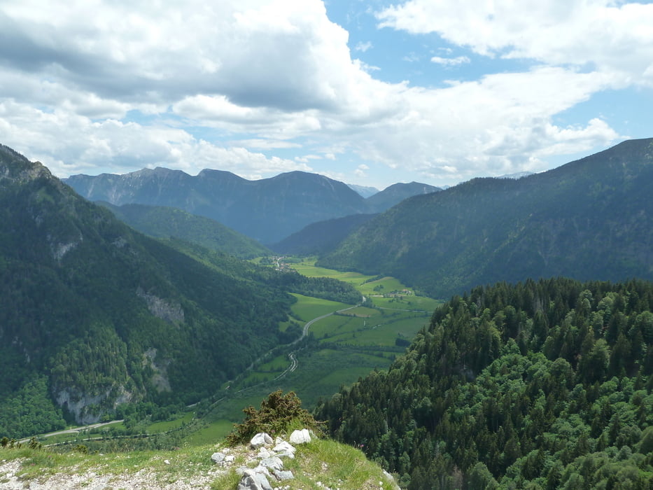
Kurz vor dem Gipfel muss man noch etwas spannend Klettern, bevor man auf dem Gipfelfels einen sehr schönen freien Blick hat.


Tour gallery

Tour map and elevation profile

  • Open Street Map
  • Google
Minimum height 837 m Maximum height 1336 m Detailed view

More about the tour author

koelner1977
Member since 2012

Send private message

Comments

Start Ziel Parkplatz Oberammergau, Königludwigstrasse bis kurz zum Ende,links und wieder rechts auf Parkplatz


GPS tracks

Trackpoints
  • GPX / Garmin Map Source (gpx) download
  • TCX / Garmin Training Center® (tcx) download
  • CRS / Garmin Training Center® (crs) download
  • Google Earth (kml) download
  • G7ToWin (g7t) download
  • TTQV (trk) download
  • Overlay (ovl) download
  • Fugawi (txt) download
  • Kompass (DAV) Track (tk) download
  • Track data sheet (pdf) download
  • Original file of the author (gpx) download

More about the tour author

koelner1977
Member since 2012

Send private message
Share track
Add to my favorites
Remove from my favorites
Edit tags
My score
Rate
Track: Kofel -Oberammergau- aus Rother Wanderführer -Zugspitze- Nr.9
Type: Mountain hiking
Distance: 8,0 km
Evaluated on:
Duration:
Day(s)
Hour(s)
Minute(s)
Score: Landscape Fun factor Fitness Technique