Login

Login oublié ?

Cookies have to be accepted!
Your browser's cookie functionality is disabled. Please enable this functionality.

Not a member yet?

Register now
Login

Available for registred users only

Log in to use this feature.

Login oublié ?

Cookies have to be accepted!
Your browser's cookie functionality is disabled. Please enable this functionality.

Not a member yet?

Register now
Filter
Catégories
Advanced filters
  • Longueur (km)
  • Altimètre
Enregistrer le filtre Reset filter

TrackRank

QRCode

Technical data

Longueur48,1 km Altimètre1144 m Way down1155 m Durée03:45 h:m Date14.05.2012
Evaluations Author Paysage Aspect amusement Condition Technique

Statistiques

519 Vues Evaluations 60 Téléchargements Moyenne
Rate
  • Feuille de tours
  • Arrivée
  • Téléchargements

Von Zeil am Main nach Sand am Main, um den Hermannsberg, zum Ebersberg, vorbei am Marswald, entlang der Kammerstrasse zur Steigerwald-Höhenstrasse, vorbei am Wodansborn, Richtung Neuhausen, dann zum Zabelstein, hinab auf dem Panoramaweg, über Zell am Eberberg zurück nach Zeil

Vorwiegend gute Wald- und Forst- und Radwege
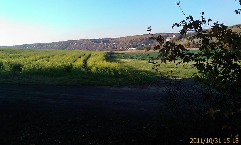
Galerie du tour

Carte du tour et altitude

  • Open Street Map
  • Google
Minimum height 205 m Maximum height 494 m Vue de détail

More about the tour author

Astro
Member since 2009

Send private message

Commentaires

Zeil am Main liegen zwischen Schweinfurt und Bamberg

Tracks GPS

Trackpoints
  • GPX / Garmin Map Source (gpx) download
  • TCX / Garmin Training Center® (tcx) download
  • CRS / Garmin Training Center® (crs) download
  • Google Earth (kml) download
  • G7ToWin (g7t) download
  • TTQV (trk) download
  • Overlay (ovl) download
  • Fugawi (txt) download
  • Kompass (DAV) Track (tk) download
  • Feuille de tours (pdf) download
  • Original file of the author (gpx) download

More about the tour author

Astro
Member since 2009

Send private message
Share track
Add to my favorites
Remove from my favorites
Edit tags
My score
Rate
Tour: Von Zeil am Main in eine Steigerwaldrunde, nix Neues, aber schön!
Cat.: Mountainbike
Longueur: 48,1 km
Evaluated on:
Durée:
Day(s)
Hour(s)
Minute(s)
Evaluation: Paysage Aspect amusement Condition Technique