Login

Zabudli ste prihlasovacia meno

Cookies have to be accepted!
Your browser's cookie functionality is disabled. Please enable this functionality.

Not a member yet?

Register now
Login

Available for registred users only

Log in to use this feature.

Zabudli ste prihlasovacia meno

Cookies have to be accepted!
Your browser's cookie functionality is disabled. Please enable this functionality.

Not a member yet?

Register now
Filter
Kategórie
Advanced filters
  • Dĺžka (km)
  • výškomer
Uložiť filter Reset filter

TrackRank

QRCode

Technical data

Dĺžka11,7 km výškomer402 m Way down408 m Doba03:00 h:m dátum19.11.2017
ohodnotenia Author User Kraj pôžitok z túry kondícia technika

štatistika

877 náhľady 1 ohodnotenie 62 Stiahnutia 3.00 priemer
Rate
  • list trasy
  • príjazd
  • Stiahnutia

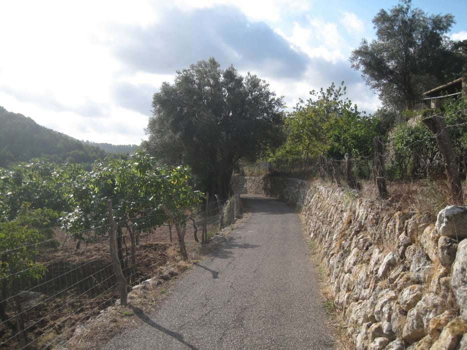
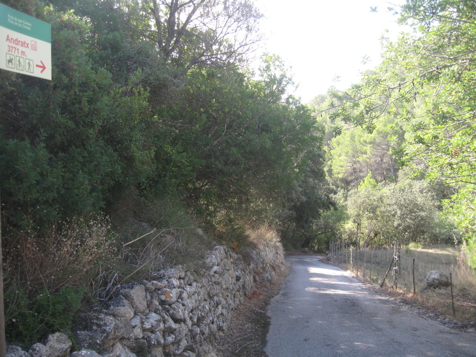
Die Tour ist gut beschildert und führt auf schmalen geteerten Wegen durch die Täler Coma Freda und Coma Calenta. Das Tal Coma Freda  wird als „Kalte Tal“ und Coma Calenta wird als „Warme Tal“ bezeichnet. Hier führt der Weg dann durch etliche Gärten – dies ist für mich der schönere Teil der Wanderung.

Es ist eine gemütliche Wanderung durch zwei Täler und nicht touristisch überlaufen. Ich bin auf meinem Weg unter der Woche keinen außer ein paar Kleinbauern in ihren Gärten keinen begegnet.

Einkehrmöglichkeiten sind um den Hauptplatz von Andratx vorhanden.

http://www.visit-andratx.com/experiencias/rutas/andratx-ses-comes/

galéria trás

Mapa trasy a výškový profil

  • Open Street Map
  • Google
Minimum height 60 m Maximum height 336 m Detailný pohľad

More about the tour author

JoachimDief
Member since 2016

Send private message

komentáre

wanderolli on 16.04.2019

Mein Eindruck

Eine an sich schöne Wanderung. Besonders zum Start der Wanderwoche. Ich finde es aber immer wieder schade, dass es auf der gesamten Tour keine einzige Sitzgelegenheit für eine kleine Rast gibt. Außerdem nerven mich die Hunde. Ich fühle mich bei manchen sehr bedroht.
Kostenloser Parkplatz am Sport- und Schulzentrum von Andratx

GPS trasy

Trackpoints
  • GPX / Garmin Map Source (gpx) download
  • TCX / Garmin Training Center® (tcx) download
  • CRS / Garmin Training Center® (crs) download
  • Google Earth (kml) download
  • G7ToWin (g7t) download
  • TTQV (trk) download
  • Overlay (ovl) download
  • Fugawi (txt) download
  • Kompass (DAV) Track (tk) download
  • list trasy (pdf) download
  • Original file of the author (gpx) download

More about the tour author

JoachimDief
Member since 2016

Send private message
Share track
Add to my favorites
Remove from my favorites
Edit tags
My score
Rate
trasa: Andratx: Ruta de ses Comes
Druh: trasa
Dĺžka: 11,7 km
Evaluated on:
Doba:
Day(s)
Hour(s)
Minute(s)
ohodnotenie: Kraj pôžitok z túry kondícia technika