


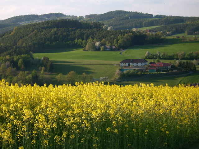
der start beginnt etwas steiler bei der schule auhof und fliesst nach ca. 100 m in eine leicht zu fahrende steigung mit kurzen "auf und ab's" bis zum mirellental.
auf den wanderweg nr. 41 bis zur bundesstraße richtung altenberg. über den kreisverkehr gerade aus nach willersdorf und danach am wanderweg nr. 3 nach oberbairing. von dort weg folgt man dem wanderweg nr. 160 nach st. magdalena. kleine, kurze single trails bis zur uni.
auf den wanderweg nr. 41 bis zur bundesstraße richtung altenberg. über den kreisverkehr gerade aus nach willersdorf und danach am wanderweg nr. 3 nach oberbairing. von dort weg folgt man dem wanderweg nr. 160 nach st. magdalena. kleine, kurze single trails bis zur uni.
Galerija izletov
Zemljevid in višinski profil izleta
Minimum height 268 m
Maximum height 651 m
More about the tour author

|
dafredl |
Komentarji

Am besten startet man die Tour bei der Strassenbahn Endhaltestelle in Auhof, neben der Uni
Parkplätze sind reichlich Vorhanden
Poti GPS
Trackpoints-
GPX / Garmin Map Source (gpx) download
-
TCX / Garmin Training Center® (tcx) download
-
CRS / Garmin Training Center® (crs) download
-
Google Earth (kml) download
-
G7ToWin (g7t) download
-
TTQV (trk) download
-
Overlay (ovl) download
-
Fugawi (txt) download
-
Kompass (DAV) Track (tk) download
-
List z izleti (pdf) download
-
Original file of the author (g7t) download
More about the tour author
|
|
dafredl |
Add to my favorites
Remove from my favorites
Edit tags
Open track
My score
Rate