


- Panoramarunde gegen den Uhrzeigersinn.
- v.KM 0 bis KM 10 einrollen durch die Obstgärten des Meraner Beckens bis nach Burgstall
- v.KM 10 bis KM 13,1 - MH 268 bis MH 650 Aufstieg auf kaum befahrener Teerstrasse(steil-), durch Weinäcker und Eichenwälder zum Gasthof Hecherhof. Die letzten 400 MT auf einem Steig mit kurzer Schiebepassage.
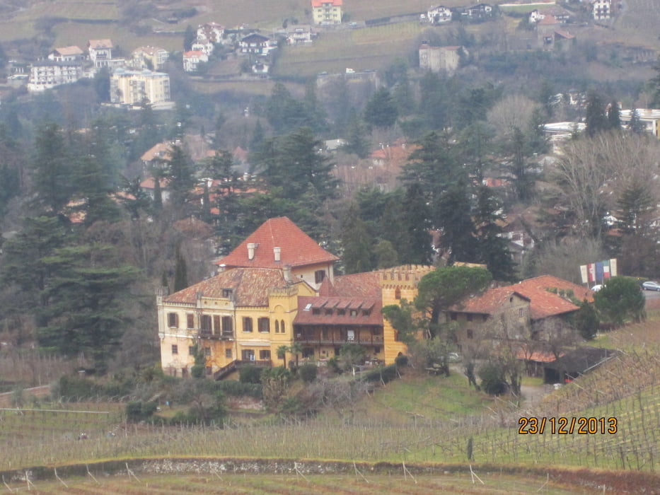
- Vom Hecherhof geht's auf Teerstrasse auf und ab zu Schloss Labers. Von dort auf verschlungenen Nebenstrassen durch das Meraner Villen- u. Parkviertel Obermais zurück zum Ausgangspunkt.
- Start/Ziel: Öffentlicher Parkplatz neben Hotel Marlingerhof an der Marlingerbrücke.
Galerie du tour


Carte du tour et altitude
Minimum height 164 m
Maximum height 650 m
More about the tour author
|
|
MargesinFriedrich |
Commentaires

Tracks GPS
Trackpoints-
GPX / Garmin Map Source (gpx) download
-
TCX / Garmin Training Center® (tcx) download
-
CRS / Garmin Training Center® (crs) download
-
Google Earth (kml) download
-
G7ToWin (g7t) download
-
TTQV (trk) download
-
Overlay (ovl) download
-
Fugawi (txt) download
-
Kompass (DAV) Track (tk) download
-
Feuille de tours (pdf) download
-
Original file of the author (gpx) download
More about the tour author
|
|
MargesinFriedrich |
Add to my favorites
Remove from my favorites
Edit tags
Open track
My score
Rate