


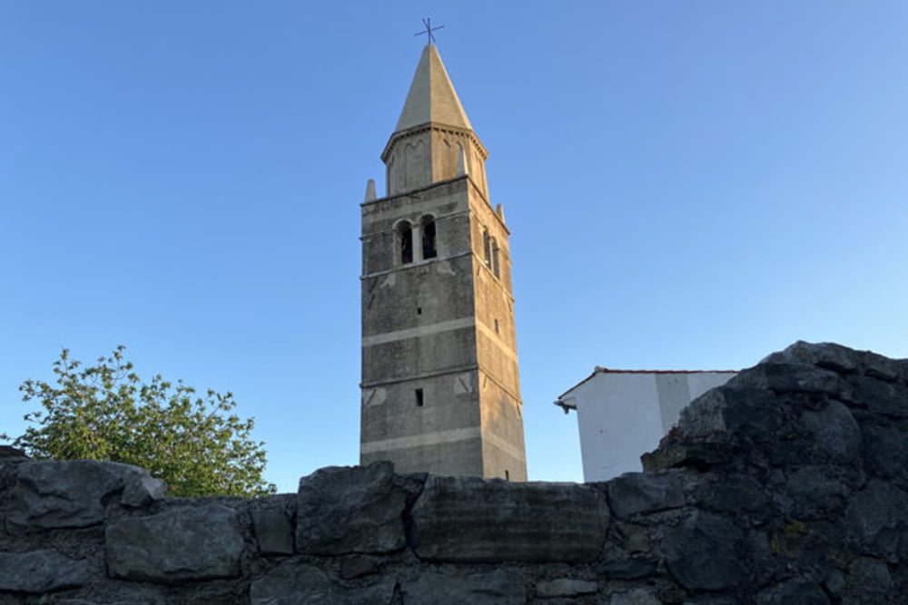
Rabac-Scorpion trail (vozimo v nasprotni smeri, torej navzgor; le prvih dvesto metrov bo mogoče treba potiskati, v nadaljevanju po ravnem)-Ripenda Kras-Škrilice (pešpot proti Starem gradu je na začetku precej strma, mogoče bo za par metrov potrebno sestopiti)-Stari grad-Labin-Ripenda Verbanci-Knapići-Veselići-Paliska-Calussovo-Vicani-Espresso trail (modro označena steza, na trenutke kamnita, zato pa položna in zabavna)-Rt Sveti Andrija-Rabac
Further information at
https://mtb-itd.si/Einschränkungen
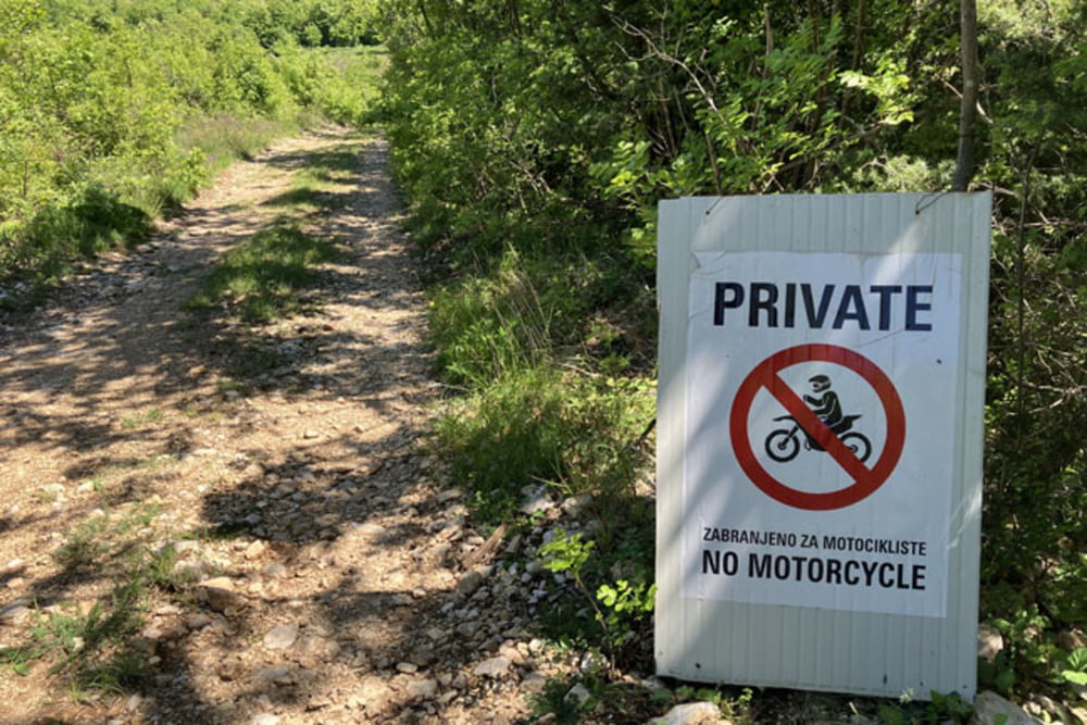
This tour has a carry or push section on 0.3 kilometers
Tour gallery


Tour map and elevation profile
Minimum height 79 m
Maximum height 450 m
More about the tour author
|
|
andrejno |
Comments

Rabac-Scorpion trail-Ripenda Kras-Škrilice-Stari grad-Labin-Ripenda Verbanci-Knapići-Veselići-Paliska-Calussovo-Vicani-Espresso trail-Rt Sveti Andrija-Rabac
Einschränkungen
This tour has a carry or push section on 0.3 kilometers
GPS tracks
Trackpoints-
GPX / Garmin Map Source (gpx) download
-
TCX / Garmin Training Center® (tcx) download
-
CRS / Garmin Training Center® (crs) download
-
Google Earth (kml) download
-
G7ToWin (g7t) download
-
TTQV (trk) download
-
Overlay (ovl) download
-
Fugawi (txt) download
-
Kompass (DAV) Track (tk) download
-
Track data sheet (pdf) download
-
Original file of the author (gpx) download
More about the tour author
|
|
andrejno |
Add to my favorites
Remove from my favorites
Edit tags
Open track
My score
Rate