


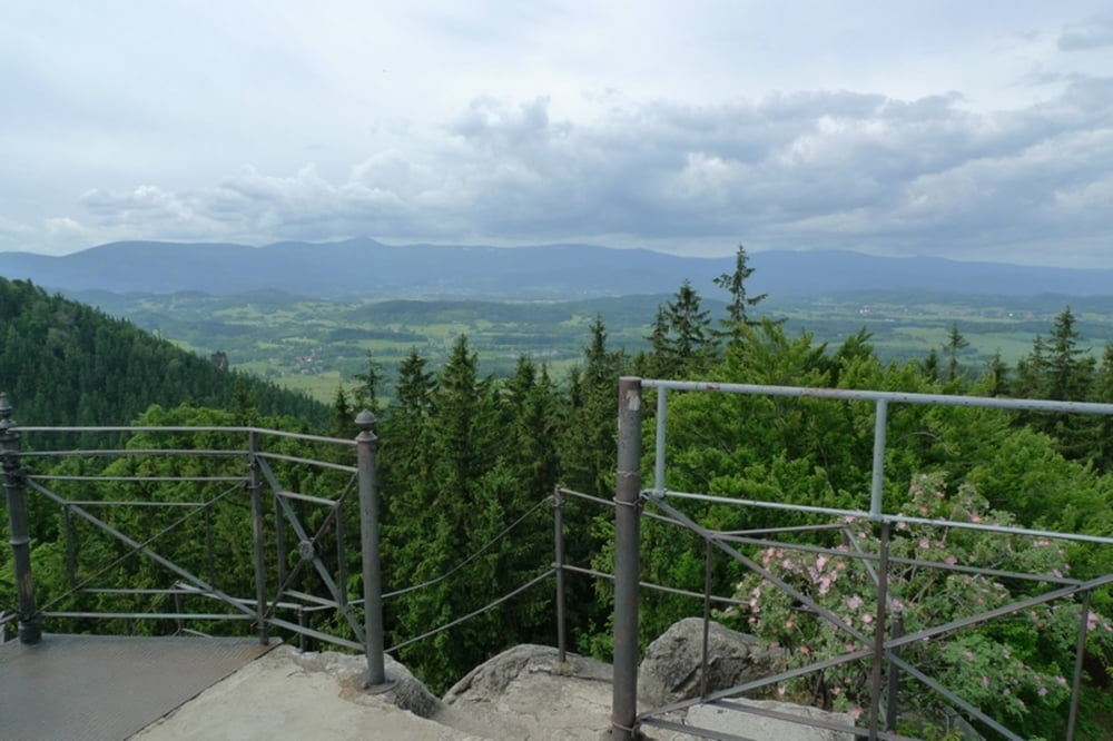
Łatwa i przyjemna trasa z trzema super punktami widokowymi. W schronisku "Szwajcarka" bufet. Częste miejsce grupowych wycieczek. Fragment do Lwiej Góry bardziej spokojny.
http://www.sudety.it/index/gory/regiony/ID,14
przewodnik.noclegownia.pl/rudawy-janowickie-kolorowe-jeziorka-76.html
Further information at
http://rudawyjanowickie.pl/Galerie du tour


Carte du tour et altitude
Minimum height 470 m
Maximum height 694 m
More about the tour author
|
|
Senecio |
Commentaires

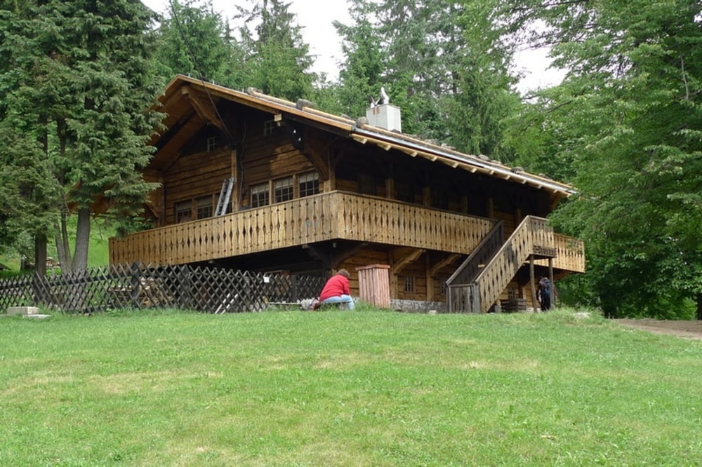
Z głównej trasy między Jelenią Górą a Wrocławiem skręcamy do Janowic Wielkich skąd przez Trzcińsko jedziemy do Karpnik. Samochód zostawiamy na płatnym (7 PLN -2012r) parkingu na przełęczy Karpnickiej. Można też zaparkować przy schronisku "Szwajcarka" ale parking jest bardzo mały i szybko się zapełnia.
Tracks GPS
Trackpoints-
GPX / Garmin Map Source (gpx) download
-
TCX / Garmin Training Center® (tcx) download
-
CRS / Garmin Training Center® (crs) download
-
Google Earth (kml) download
-
G7ToWin (g7t) download
-
TTQV (trk) download
-
Overlay (ovl) download
-
Fugawi (txt) download
-
Kompass (DAV) Track (tk) download
-
Feuille de tours (pdf) download
-
Original file of the author (gpx) download
More about the tour author
|
|
Senecio |
Add to my favorites
Remove from my favorites
Edit tags
Open track
My score
Rate