


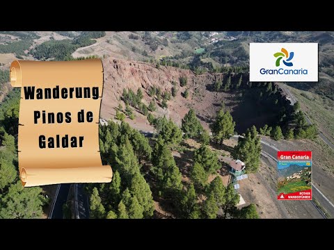
Die Kontrastreiche Wanderung starten oberhalb vom Krater Pinos de Galdar in einen hohen Kiefernwald hinein. Der erste Teil der Wanderung führt überwiegen durch den Wald immer abwärts. Knappe 400 Meter folgen wir der erreichten GC-70 bis es die letzten Meter zum Bergdorf Fontanales weiter hinabgeht. Den Tiefsten Punkt ist im Ort Fortanales erreich, nun führt der Streckenverlauf fast nur Bergan zu unserem Startpunkt. Es geht über grüne Fluren mit Kiefern und Kastanienbäumen. Die letzten Meter verlaufen dann entlang der Asphaltstraße zum Auto.
Galeria trasy


Mapa trasy i profil wysokości
Minimum height 1010 m
Maximum height 1516 m
More about the tour author
|
|
schleidy |
Komentarze

GPS tracks
Trackpoints-
GPX / Garmin Map Source (gpx) download
-
TCX / Garmin Training Center® (tcx) download
-
CRS / Garmin Training Center® (crs) download
-
Google Earth (kml) download
-
G7ToWin (g7t) download
-
TTQV (trk) download
-
Overlay (ovl) download
-
Fugawi (txt) download
-
Kompass (DAV) Track (tk) download
-
Karta trasy (pdf) download
-
Original file of the author (gpx) download
More about the tour author
|
|
schleidy |
Add to my favorites
Remove from my favorites
Edit tags
Open track
My score
Rate