


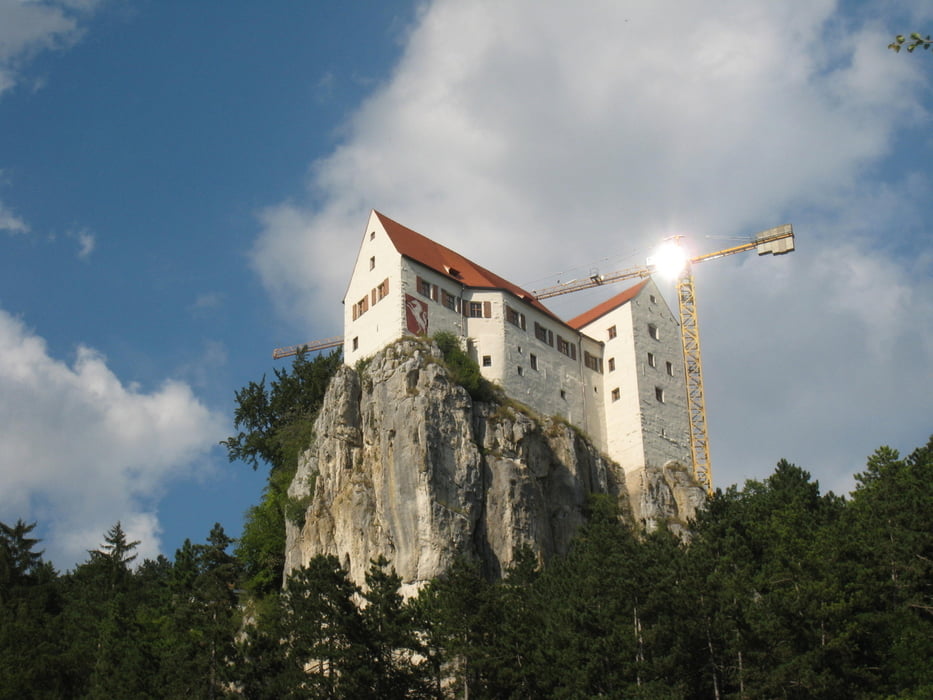
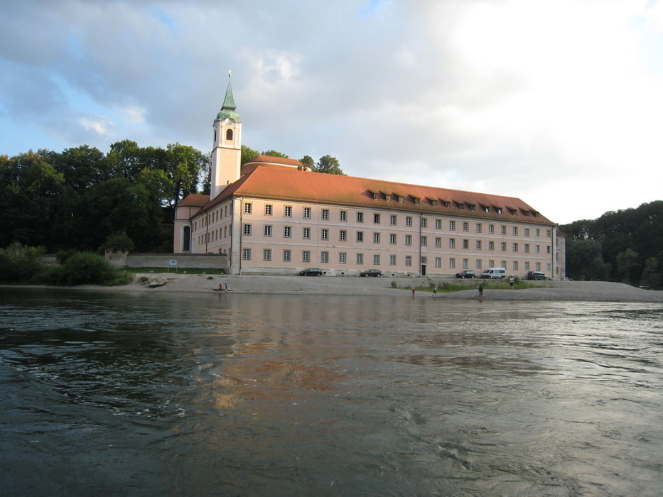
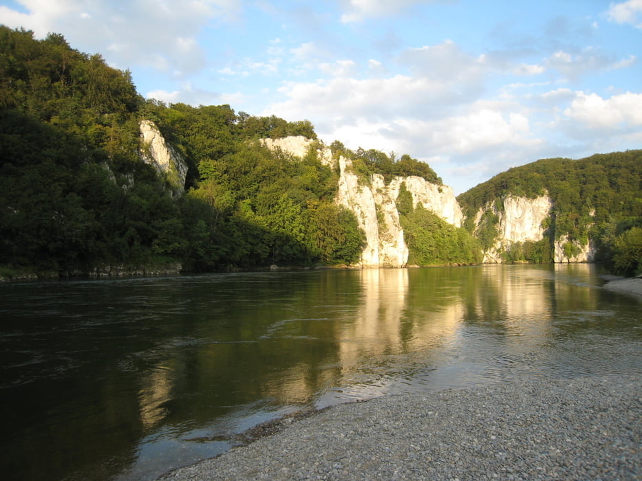
Etappe 6: Walting - Saal a.d. Donau
Unsere Sommerradtour 2009 führte uns von Wiesbaden entlang des Main bis nach Wertheim. Dort folgten wir dem Radweg durch das Taubertal nach Rothenburg o.d. Tauber. Über die Frankenhöhe ging es dann zur Altmühl bis an die Donau. Nach dem Besuch von Regensburg fuhren wir dann die Naab hinauf durch die Oberpfalz. Bei Creussen ging es wieder zum Main, dem wir dann bis nach Wertheim folgten.
Die Tour bestand aus 14 einzelnen Etappen:
- Etappe 1: Wiesbaden - Karlsstein am Main
- Etappe 2: Karlstein am Main - Gamburg
- Etappe 3: Gamburg - Rothenburg o.d. Tauber
- Etappe 4: Rothenburg o.d. Tauber - Gunzenhausen
- Etappe 5: Gunzenhausen - Walting
- Etappe 6: Walting - Saal a.d. Donau
- Etappe 7: Saal a.d. Donau - Kallmünz
- Etappe 8: Kallmünz - Dorfgmünd
- Etappe 9: Dorfgmünd - Eschenbach
- Etappe 10: Eschenbach - Mainroth
- Etappe 11: Mainroth - Sand a. Main
- Etappe 12: Sand a. Main - Marksteft
- Etappe 13: Marktsteft - Gemünden
- Etappe 14: Gemünden - Wertheim
Further information at
http://thorsten-bachner.deGalerija izletov

Zemljevid in višinski profil izleta
Minimum height 341 m
Maximum height 474 m
More about the tour author
|
|
tbachner |
Komentarji

Die Radtouretappe ist Teil einer Rundfahrt.
Die Etappe startet in Walting im Altmühltal. Der nächstgelegene Bahnhof befindet sich in Eichstätt. Hier verläuft dieBahnstrecke Ingolstadt–Treuchtlingen
Die Tour endet in Saal an der Donau. Der Bahnhof Saal liegt an der Donautalbahn Ingolstadt-Regensburg.
Poti GPS
Trackpoints-
GPX / Garmin Map Source (gpx) download
-
TCX / Garmin Training Center® (tcx) download
-
CRS / Garmin Training Center® (crs) download
-
Google Earth (kml) download
-
G7ToWin (g7t) download
-
TTQV (trk) download
-
Overlay (ovl) download
-
Fugawi (txt) download
-
Kompass (DAV) Track (tk) download
-
List z izleti (pdf) download
-
Original file of the author (gpx) download
More about the tour author
|
|
tbachner |
Add to my favorites
Remove from my favorites
Edit tags
Open track
My score
Rate