


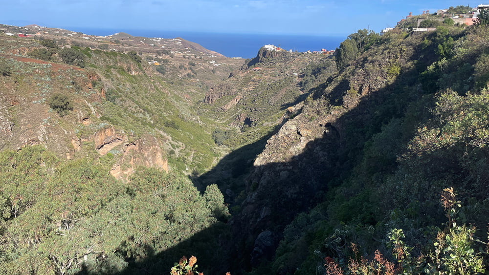
Wir starten unsere Wanderung am Friedhof in Moya und schwenken am Ende vom Ort auf einen großen Platz mit 3 schattenspendenden Überbauten für Tiere. Unser Weg führt uns von der Bco. Kannte de Moya bergan auf die Kannte vom Bco. Azuaje. Diesem folgen wir einige Hundert Meter bis wir in einen schönen Eukalyptus Wald im Wechsel mit Freiflächen eintauchen. Ein Wegweiser leitet uns nun zu einem Rundweg in den Barranco de los Propio der durch eine letzte Hochburg des Lorbeerwaldes auf Gran Canaria führt. Nach der gelaufenen Schleife führt die Wanderung nach Moya mit einer anschließenden kleine Runde durch den Ort.
Tour gallery

Tour map and elevation profile
Minimum height 464 m
Maximum height 627 m
More about the tour author
|
|
schleidy |
Comments

GPS tracks
Trackpoints-
GPX / Garmin Map Source (gpx) download
-
TCX / Garmin Training Center® (tcx) download
-
CRS / Garmin Training Center® (crs) download
-
Google Earth (kml) download
-
G7ToWin (g7t) download
-
TTQV (trk) download
-
Overlay (ovl) download
-
Fugawi (txt) download
-
Kompass (DAV) Track (tk) download
-
Track data sheet (pdf) download
-
Original file of the author (gpx) download
More about the tour author
|
|
schleidy |
Add to my favorites
Remove from my favorites
Edit tags
Open track
My score
Rate