


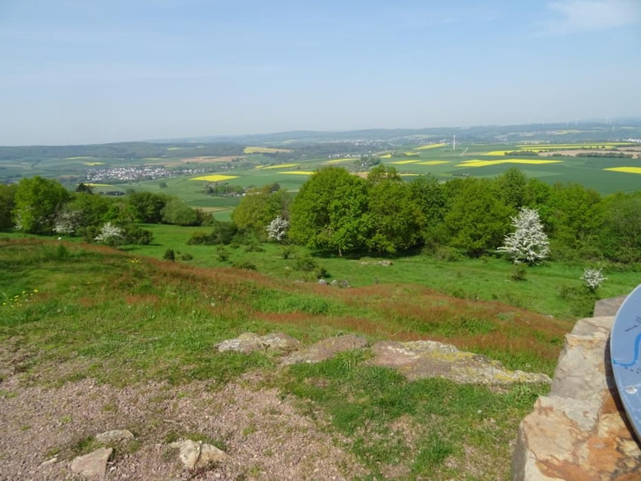
Diese Strecke führt vom Limburger Stadtteil Blumenrod nach Linter. Von dort geht es an Mensfelden vorbei den Berg hinauf zum Mensfelder Kopf. Es folgt eine Strecke durch den Wald, an Bauerhöfen vorbei und dann zurück ins Tal nach Blumenrod
Further information at
https://sonntagswandern.de/maiwanderung-ueber-den-mensfelder-kopf-1-mai-2024/Tour gallery
Tour map and elevation profile
Minimum height 178 m
Maximum height 326 m
More about the tour author

|
Sonntagswanderin |
Comments

über die B417 zum Kreisel, an der Zeppelinstraße abbiegen und dann zum Parkplatz fahren
GPS tracks
Trackpoints-
GPX / Garmin Map Source (gpx) download
-
TCX / Garmin Training Center® (tcx) download
-
CRS / Garmin Training Center® (crs) download
-
Google Earth (kml) download
-
G7ToWin (g7t) download
-
TTQV (trk) download
-
Overlay (ovl) download
-
Fugawi (txt) download
-
Kompass (DAV) Track (tk) download
-
Track data sheet (pdf) download
-
Original file of the author (gpx) download
More about the tour author
|
|
Sonntagswanderin |
Add to my favorites
Remove from my favorites
Edit tags
Open track
My score
Rate