


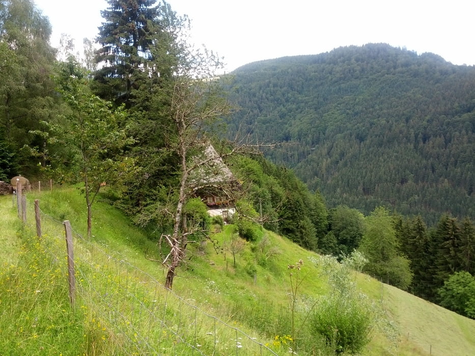
Schöne Rundtour ab St.Peter. den Schmittenbach hinauf, and der Vogesenkapelle, an der Kapfenkapelle vorbei, bis St.Märgen Rankmühle. Dort lings weg, Richtung Gutacher Halde, dann runter nach Obersimonswald. Ein kleines Stück auf der Straße, am Gasthaus Engel vorbei, und dann links weg auf Waldwegen Richtung Ettersbach. Auf schönen Forstwegen Richtung Kandel. Vor dem Gipfel noch einmal sehr steile und anspruchsvolle Anstiege, bis man an die Gustav Beck Hütte kommt. Grandioser Ausblick!!
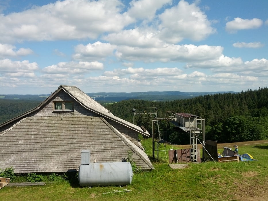
Von hier nun den letzten Anstieg zum Kandel, dann die Straße runter bis zur Schwärhütte, dort rechts in den Wald und runter ins Sägendobel. Ab Sägendobel den Haldenweg zurück nach St.Peter.
Sehr schöne Tour mit tollen Ausblicken.
galéria trás


Mapa trasy a výškový profil
Minimum height 434 m
Maximum height 1167 m
More about the tour author

|
Specky30 |
komentáre

GPS trasy
Trackpoints-
GPX / Garmin Map Source (gpx) download
-
TCX / Garmin Training Center® (tcx) download
-
CRS / Garmin Training Center® (crs) download
-
Google Earth (kml) download
-
G7ToWin (g7t) download
-
TTQV (trk) download
-
Overlay (ovl) download
-
Fugawi (txt) download
-
Kompass (DAV) Track (tk) download
-
list trasy (pdf) download
-
Original file of the author (gpx) download
More about the tour author
|
|
Specky30 |
Add to my favorites
Remove from my favorites
Edit tags
Open track
My score
Rate