


Typical Cevennes tour. Partly follows the path of Robert Luis Stevenson's travels with a donkey in Cevennes
We start in Saumane but the tour can also be started in St. Jean du Gard. Opposed to Stevenson I decided to go North rather than the southbound traditional route.
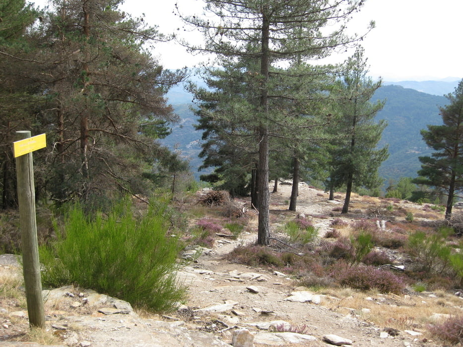
From Saumane go up the DFCI to the Corniche de Cevennes (from St. Jean drive out of town and go up the Stevenson GR up to the Corniche. Leaving from St. Jean it will be stepp at the beginning and the last half pushing and carrying. It's better to start in Saumane and follow my logfile).
Once up at the Corniche stay on it eastwards until you find the beginnig of the Stevenson track (GR) down into the Vallée Fraincaise. That is a great singletrack Downhill trail.
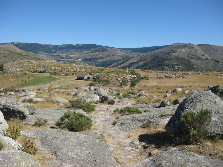
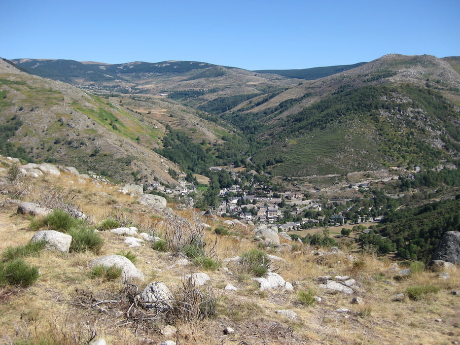
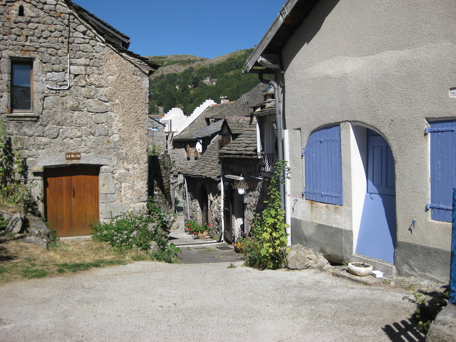
Once down follow on the small Route Nationale until St. Etienne Vallée Francaise. The next village will be St. Germain de Calberte. From here take the GR70/GR67A down do Cassagnas. Beautyful Cevennes typical Landscapes will accompany you. If you have little water left make sure to stock up in St. Germain de Calberte.
Arriving in Cassagnas find the Gite and sleepover or if you are fast continue to Le Pt. de Montvert and sleep there or go down to Florac via road and get hopefully picked up there by one of your beloved ones to get back to Saumane/St. Jean du Gard. That's where this tour ends, but next time I will continue to the Mont Lozère which is the highest mountain in the Cevenens.
Cevennes is great for Mountainbikers because there are no other or very few Mountainbikers. It is a Trail El Dorado but be aware. Water during the day is scarce (take enough with you) and be ready for flat tires. The Chestnuts (favorite food of the Sangliers (Wild Boars) and the Wild Berry plants are real tire killers.
Tour Galerie
Tour Karte und Höhenprofil
Minimale Höhe 249 m
Maximale Höhe 1305 m
Mehr zum Tourautor
|
|
mgsugar |
Kommentare

Mehr zum Tourautor
|
|
mgsugar |
Zu meinen Favoriten hinzufügen
Von meinen Favoriten entfernen
Tags bearbeiten
Tour öffnen
Meine Bewertung
Bewerten