


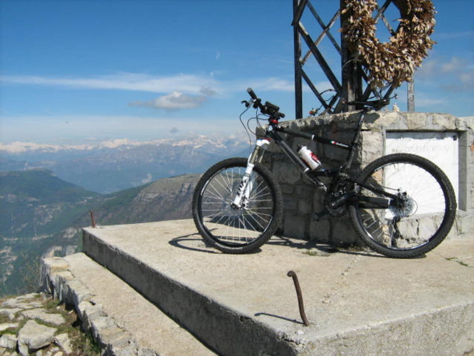
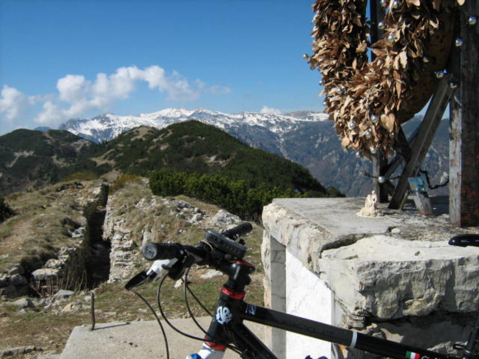
Paesaggi grandiosi che, nelle giornate più limpide, spaziano fino all'Adriatico e importanti memorie della grande guerra caratterizzano questa “classica” degli Altipiani. L'itinerario si snoda prevalentemente su strade militari , dal fondo compatto e con pendenza regolare. A tratti trialistica la salita alla cima di monte Maggio, qui affrontata dal versante della valle di Terragnolo.
Itinerario: Folgaria – Mezzaselva – Dosso delle Somme – sentiero della pace - Monte Maggio – sentiero E5 - Passo Coe – rif. Camini – rif. Stella d'Italia – Biotopo di Echen – Santuario Madonna delle Grazie – Folgaria.
Tour gallery
Tour map and elevation profile
Minimum height 1134 m
Maximum height 1856 m
More about the tour author
|
|
FOLAMOUR |
Comments

Uscite Rovereto Nord o Trento sud della A22, arrivati a Calliano prendere la ss 350.
Partenza a Folgaria dal Parcheggio sulla SS 350 nei pressi del palaghiaccio
GPS tracks
Trackpoints-
GPX / Garmin Map Source (gpx) download
-
TCX / Garmin Training Center® (tcx) download
-
CRS / Garmin Training Center® (crs) download
-
Google Earth (kml) download
-
G7ToWin (g7t) download
-
TTQV (trk) download
-
Overlay (ovl) download
-
Fugawi (txt) download
-
Kompass (DAV) Track (tk) download
-
Track data sheet (pdf) download
-
Original file of the author (gpx) download
More about the tour author
|
|
FOLAMOUR |
Add to my favorites
Remove from my favorites
Edit tags
Open track
My score
Rate