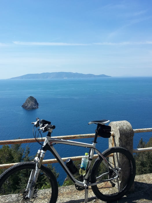
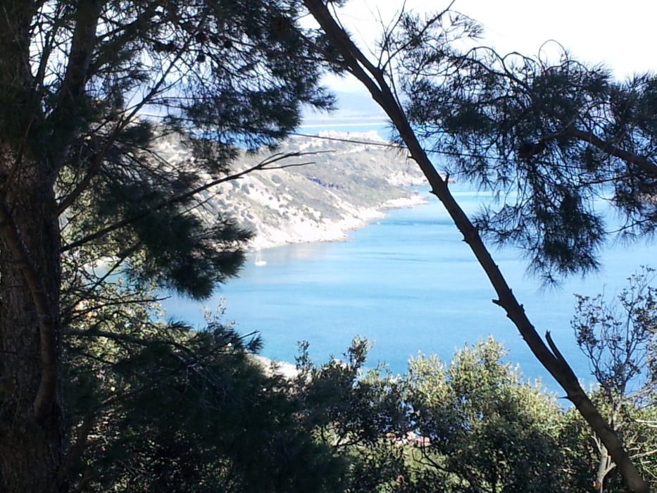
Login

Forgot your login?

Cookies have to be accepted!
Your browser's cookie functionality is disabled. Please enable this functionality.

Not a member yet?

Register now
Login

Available for registred users only

Log in to use this feature.

Forgot your login?

Cookies have to be accepted!
Your browser's cookie functionality is disabled. Please enable this functionality.

Not a member yet?

Register now
Filter
Categories
Advanced filters
  • Distance (km)
  • Height
Save filters Reset filter

TrackRank

QRCode

Technical data

Distance85,5 km Height1640 m Way down1631 m Duration04:00 h:m Date17.05.2012
Scores Author Landscape Fun factor Fitness Technique

Statistics

910 Views Scores 262 Downloads Average
Rate
  • Track data sheet
  • Directions
  • Downloads
...

Tour gallery

Tour map and elevation profile

  • Open Street Map
  • Google
Minimum height 818 m Maximum height 1166 m Detailed view

More about the tour author

Dollovic
Member since 2010

Send private message

Comments

MargesinFriedrich on 01.06.2013

Monte Argentario

Hallo Robert.
Ich habe eine Frage bezüglich der Länge Deines Tracks.
84,3 Km oder 43 Km?
Danke Fred aus Meran
...

GPS tracks

Trackpoints
  • GPX / Garmin Map Source (gpx) download
  • TCX / Garmin Training Center® (tcx) download
  • CRS / Garmin Training Center® (crs) download
  • Google Earth (kml) download
  • G7ToWin (g7t) download
  • TTQV (trk) download
  • Overlay (ovl) download
  • Fugawi (txt) download
  • Kompass (DAV) Track (tk) download
  • Track data sheet (pdf) download
  • Original file of the author (gpx) download

More about the tour author

Dollovic
Member since 2010

Send private message
Share track
Add to my favorites
Remove from my favorites
Edit tags
My score
Rate
Track: Rundfahrt Monte Argentario
Type: Mountain bike
Distance: 85,5 km
Evaluated on:
Duration:
Day(s)
Hour(s)
Minute(s)
Score: Landscape Fun factor Fitness Technique