Login

Forgot your login?

Cookies have to be accepted!
Your browser's cookie functionality is disabled. Please enable this functionality.

Not a member yet?

Register now
Login

Available for registred users only

Log in to use this feature.

Forgot your login?

Cookies have to be accepted!
Your browser's cookie functionality is disabled. Please enable this functionality.

Not a member yet?

Register now
Filter
Categories
Advanced filters
  • Distance (km)
  • Height
Save filters Reset filter

TrackRank

QRCode

Technical data

Distance37,0 km Height1147 m Way down1167 m Duration03:30 h:m Date18.05.2012
Scores Author Landscape Fun factor Fitness Technique

Statistics

1725 Views Scores 245 Downloads Average
Rate
  • Track data sheet
  • Directions
  • Downloads
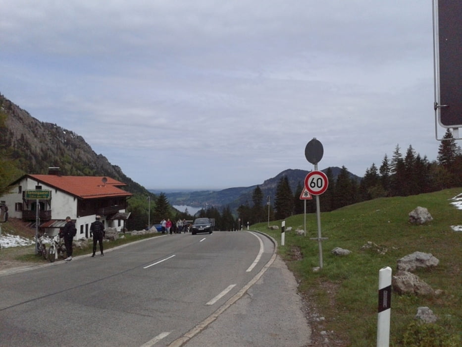
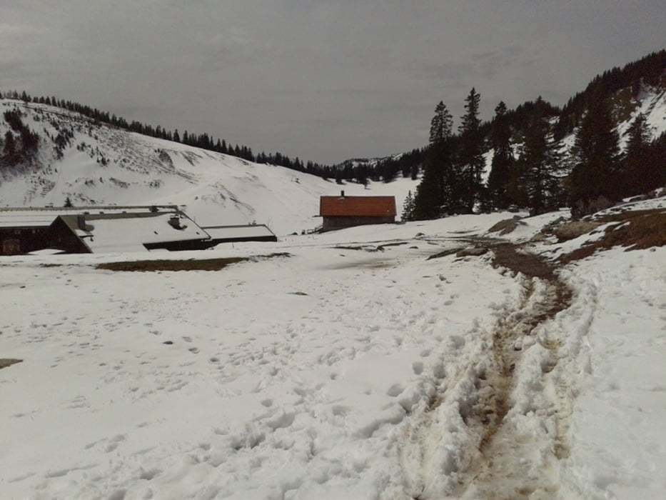
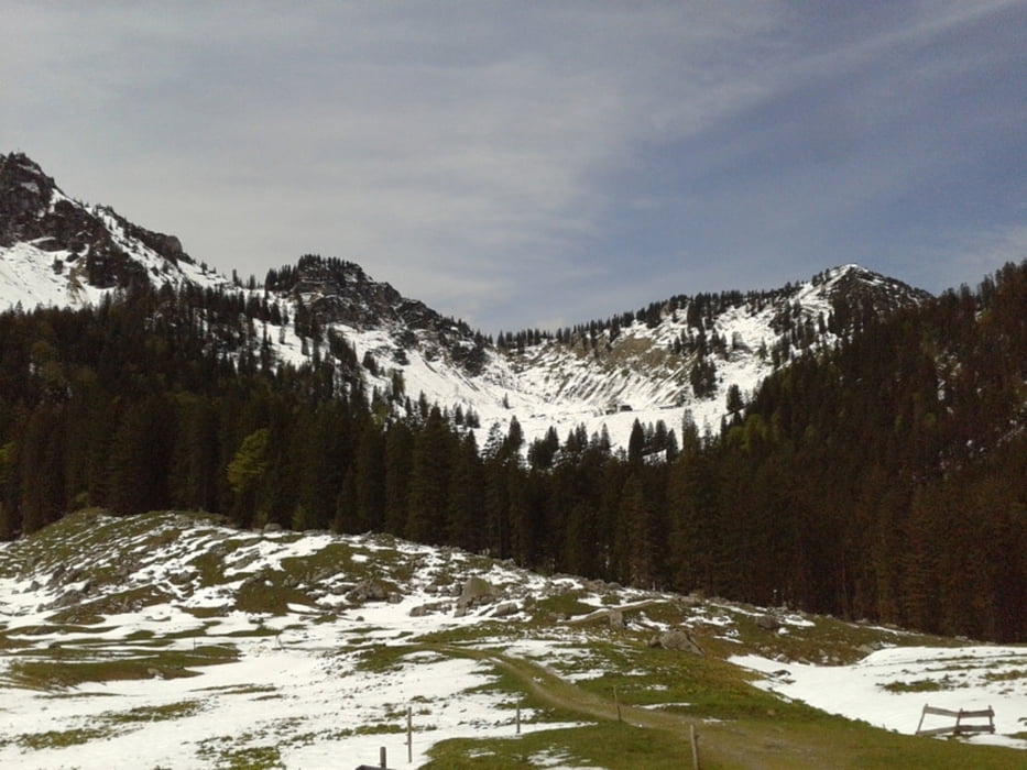
Start in Rottach-Egern, über Mautstelle Enterrottach Richtung Valepp, dabei nicht immer 100% auf der Asphaltstrasse sondern über Bäckeralm und Haferalm zum Suttensee. Vom Spitzingsee zurück nach Rottach-Egern über Untere Firstalm > Obere Firstalm > Freudenreichsattel > Küzagl

Tour gallery

Tour map and elevation profile

  • Open Street Map
  • Google
Minimum height 778 m Maximum height 1437 m Detailed view

More about the tour author

zozoon
Member since 2012

Send private message

Comments

GPS tracks

Trackpoints
  • GPX / Garmin Map Source (gpx) download
  • TCX / Garmin Training Center® (tcx) download
  • CRS / Garmin Training Center® (crs) download
  • Google Earth (kml) download
  • G7ToWin (g7t) download
  • TTQV (trk) download
  • Overlay (ovl) download
  • Fugawi (txt) download
  • Kompass (DAV) Track (tk) download
  • Track data sheet (pdf) download
  • Original file of the author (gpx) download

More about the tour author

zozoon
Member since 2012

Send private message
Share track
Add to my favorites
Remove from my favorites
Edit tags
My score
Rate
Track: Valepprunde (über Obere Firstalm > Freudenreichsattel)
Type: Mountain bike
Distance: 37,0 km
Evaluated on:
Duration:
Day(s)
Hour(s)
Minute(s)
Score: Landscape Fun factor Fitness Technique