


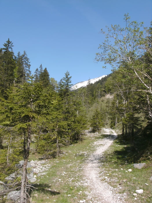
Nach gutem Frühstück im Hotel startet die heutige Etappe mit einem ca 15 km langen relativ ebenen Teilstück das Rißtal entlang wieder auf deutsche Seite.
Dannach folgt der an diesem Tag einzigste länger Anstieg (ca 400hm). An der höchsten Stelle angekommen überblickt man im Tal den Walchensee, welcher anschließend umrundet wird.
Bei schönem Wetter ist auf dem Rundweg recht viel los mit Wanderern und anderen Radfahrern.
Endstation ist an heutigen Tag Wallgau im Wallgauer Hof
Hier findet man sehr gutes Essen und tolle Zimmer mit Balkon, das Abstellen vom Fahrrad usw. ist auch alles möglich
Tour gallery
Tour map and elevation profile
Minimum height 780 m
Maximum height 1220 m
More about the tour author
|
|
claus212 |
Comments

Gasthof zur Post in Hinterriß
GPS tracks
Trackpoints-
GPX / Garmin Map Source (gpx) download
-
TCX / Garmin Training Center® (tcx) download
-
CRS / Garmin Training Center® (crs) download
-
Google Earth (kml) download
-
G7ToWin (g7t) download
-
TTQV (trk) download
-
Overlay (ovl) download
-
Fugawi (txt) download
-
Kompass (DAV) Track (tk) download
-
Track data sheet (pdf) download
-
Original file of the author (gpx) download
More about the tour author
|
|
claus212 |
Add to my favorites
Remove from my favorites
Edit tags
Open track
My score
Rate