Login

Forgot your login?

Cookies have to be accepted!
Your browser's cookie functionality is disabled. Please enable this functionality.

Not a member yet?

Register now
Login

Available for registred users only

Log in to use this feature.

Forgot your login?

Cookies have to be accepted!
Your browser's cookie functionality is disabled. Please enable this functionality.

Not a member yet?

Register now
Filter
Categories
Advanced filters
  • Distance (km)
  • Height
Save filters Reset filter

TrackRank

QRCode

Technical data

Distance60,2 km Height607 m Way down607 m Duration02:56 h:m Date20.05.2012
Scores Author Landscape Fun factor Fitness Technique

Statistics

121 Views Scores 9 Downloads Average
Rate
  • Track data sheet
  • Directions
  • Downloads

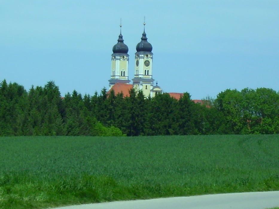
Von Steinberg zur Wochenau und durch den Golfplstz nach Illerrieden. Am Ortsanfang von Vöhringen gleich rechts nach Bellenberg. Beim Reiterhof Schewetzky steige ich in die Tour 78682 ein. Der folge ich fast komplett, steige nur etwas früher aus.


Tour gallery

Tour map and elevation profile

  • Open Street Map
  • Google
Minimum height 480 m Maximum height 566 m Detailed view

More about the tour author

painfully58
Member since 2008

Send private message

Comments

GPS tracks

Trackpoints
  • GPX / Garmin Map Source (gpx) download
  • TCX / Garmin Training Center® (tcx) download
  • CRS / Garmin Training Center® (crs) download
  • Google Earth (kml) download
  • G7ToWin (g7t) download
  • TTQV (trk) download
  • Overlay (ovl) download
  • Fugawi (txt) download
  • Kompass (DAV) Track (tk) download
  • Track data sheet (pdf) download
  • Original file of the author (gpx) download

More about the tour author

painfully58
Member since 2008

Send private message
Share track
Add to my favorites
Remove from my favorites
Edit tags
My score
Rate
Track: Steinberg Roggenburg
Type: Mountain bike
Distance: 60,2 km
Evaluated on:
Duration:
Day(s)
Hour(s)
Minute(s)
Score: Landscape Fun factor Fitness Technique