Login

Forgotten password?

Cookies have to be accepted!
Your browser's cookie functionality is disabled. Please enable this functionality.

Not a member yet?

Register now
Login

Available for registred users only

Log in to use this feature.

Forgotten password?

Cookies have to be accepted!
Your browser's cookie functionality is disabled. Please enable this functionality.

Not a member yet?

Register now
Filter
Categories
Advanced filters
  • Distance (km)
  • Height
Save filters Reset filter

TrackRank

QRCode

Technical data

Distance68,4 km Height501 m Way down520 m Duration05:15 h:m Date21.05.2012
Scores Author Landscape Fun factor Fitness Technique

Statistics

223 Views Scores 7 Downloads Average
Rate
  • Track data sheet
  • Directions
  • Downloads

Further information at

http://thorsten-bachner.de

Tour gallery

Tour map and elevation profile

  • Open Street Map
  • Google
Minimum height 41 m Maximum height 144 m Detailed view

More about the tour author

tbachner
Member since 2007

Send private message

Comments

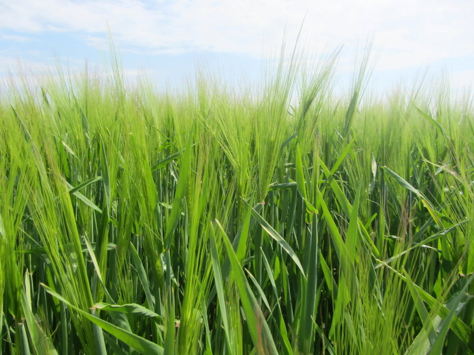
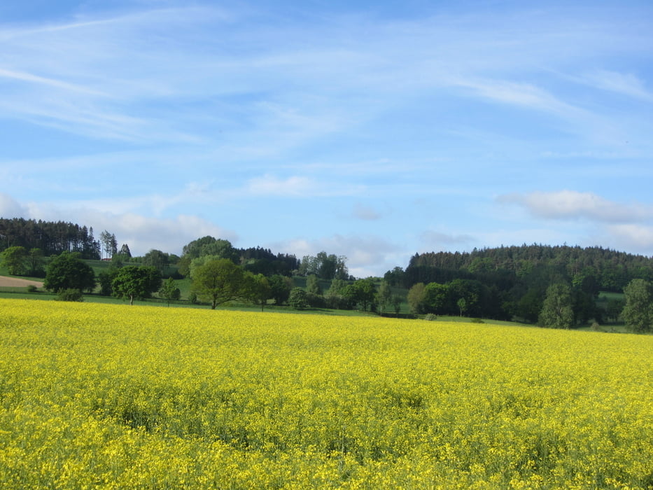
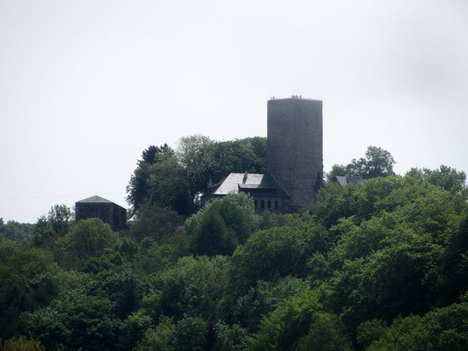
Die Tour beginnt im Oberhausener Knappenviertel und endet unterhalb der Hohensyburg an der Mündung der Lenne in die Ruhr.

Unweit der Strecke befinden sich die Bahnhöfe Essen, Hattingen, Dahlhausen, Wetter und Herdecke. Auch Busse und Bahnen im Gebiet des Verkehrsverbund Rhein-Ruhr können genutzt werden um den ein oder anderen Kilometer abzukürzen

GPS tracks

Trackpoints
  • GPX / Garmin Map Source (gpx) download
  • TCX / Garmin Training Center® (tcx) download
  • CRS / Garmin Training Center® (crs) download
  • Google Earth (kml) download
  • G7ToWin (g7t) download
  • TTQV (trk) download
  • Overlay (ovl) download
  • Fugawi (txt) download
  • Kompass (DAV) Track (tk) download
  • Track data sheet (pdf) download
  • Original file of the author (gpx) download

More about the tour author

tbachner
Member since 2007

Send private message
Share track
Add to my favorites
Remove from my favorites
Edit tags
My score
Rate
Track: Vom Knappenviertel zur Lennemündung
Type: Trekkingbike
Distance: 68,4 km
Evaluated on:
Duration:
Day(s)
Hour(s)
Minute(s)
Score: Landscape Fun factor Fitness Technique