Login

Forgot your login?

Cookies have to be accepted!
Your browser's cookie functionality is disabled. Please enable this functionality.

Not a member yet?

Register now
Login

Available for registred users only

Log in to use this feature.

Forgot your login?

Cookies have to be accepted!
Your browser's cookie functionality is disabled. Please enable this functionality.

Not a member yet?

Register now
Filter
Categories
Advanced filters
  • Distance (km)
  • Height
Save filters Reset filter

TrackRank

QRCode

Technical data

Distance98,2 km Height1804 m Way down1862 m Duration00:00 h:m Date21.05.2012
Scores Author Landscape Fun factor Fitness Technique

Statistics

622 Views Scores 120 Downloads Average
Rate
  • Track data sheet
  • Directions
  • Downloads
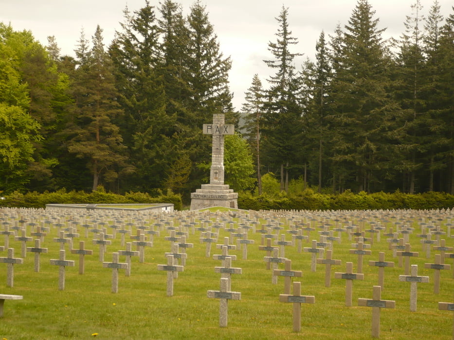
Anspruchsvolle Runde z.T auf der Route des Crete aber auch über Pässe wie Col du Wettstein, wo ein Soldatenfriedhof vom 1. Weltkrieg zu sehen ist...

Tour map and elevation profile

  • Open Street Map
  • Google
Minimum height 199 m Maximum height 1219 m Detailed view

More about the tour author

thomi64
Member since 2011

Send private message

Comments

Ausgangsort z.B. Munster oder Kaiserberg, aber auch der Col du Bonhome.

GPS tracks

Trackpoints
  • GPX / Garmin Map Source (gpx) download
  • TCX / Garmin Training Center® (tcx) download
  • CRS / Garmin Training Center® (crs) download
  • Google Earth (kml) download
  • G7ToWin (g7t) download
  • TTQV (trk) download
  • Overlay (ovl) download
  • Fugawi (txt) download
  • Kompass (DAV) Track (tk) download
  • Track data sheet (pdf) download
  • Original file of the author (gpx) download

More about the tour author

thomi64
Member since 2011

Send private message
Share track
Add to my favorites
Remove from my favorites
Edit tags
My score
Rate
Track: Route des Crêtes
Type: Road biking
Distance: 98,2 km
Evaluated on:
Duration:
Day(s)
Hour(s)
Minute(s)
Score: Landscape Fun factor Fitness Technique