


Kleine "Pabst"-Runde (tnicht nur) auf den Spuren von Leo dem 9.
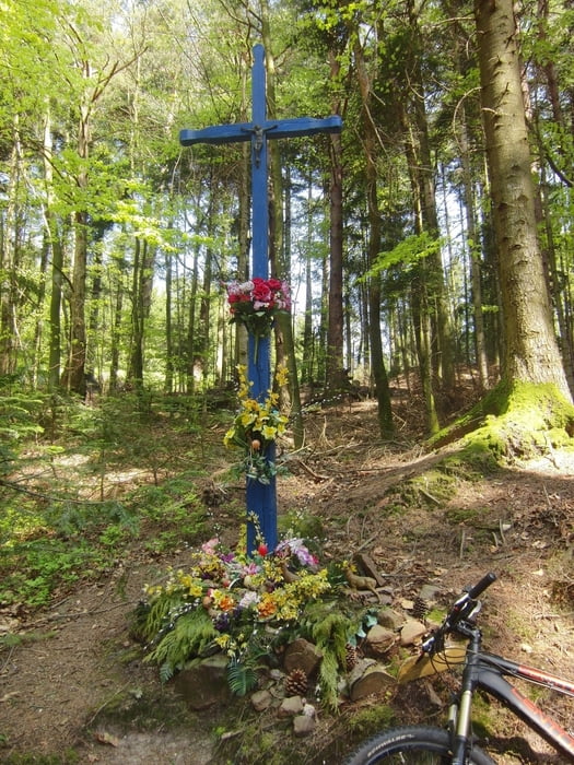
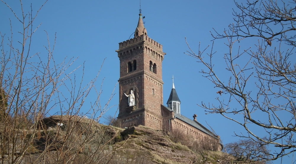
Start am Camping in Dabo, danach gleich zur Kapelle St. Léon auf dem Felsen, weiter über Croix de Loup, Croix Du Hengstbourg und Walscheid (Kaffeepause empfehlenswert) zur Grotte St. Léon (größte Sandsteinhöhle der Vogsen) und zum Promontoire. Über den gallisch-röm. Friedhof zurück. Leider geht ein Teil der Höhenmeter auf Asphalt verloren. Am Enteneck rechts die Zorn aufwärts und über schöne Trails zurück zum Camping Dabo. insgesamt ca 60 % Trails...
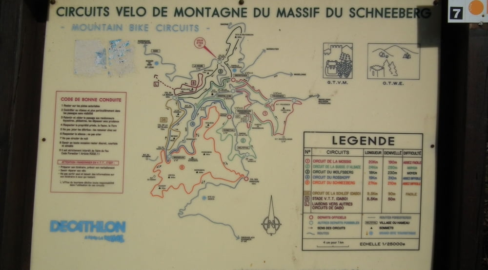
Dabo entwickelt sich zum MTB Zentrum der Nordvogesen: ausgeschilderte Rundtouren, viele Trails, hervoragender und günstiger Camping und vor allem sehr nette Leute im Office de Tourisme. Kneipen, Bäckerei und Lebensmittleladen im Ortszentrum.
Further information at
http://www.ot-dabo.fr/Tour gallery
Tour map and elevation profile
Minimum height 99999 m
Maximum height -99999 m
More about the tour author
|
|
christophpaul |
Comments

Über Lutzelbourg und "Plan Inclinée" (Schiffshebewerk) nach Dabo. Durcu den Ort durch bis zum Camping Municipal am Fuße des Felsens mit Kapelle. Dort Start.
GPS tracks
Trackpoints-
GPX / Garmin Map Source (gpx) download
-
TCX / Garmin Training Center® (tcx) download
-
CRS / Garmin Training Center® (crs) download
-
Google Earth (kml) download
-
G7ToWin (g7t) download
-
TTQV (trk) download
-
Overlay (ovl) download
-
Fugawi (txt) download
-
Kompass (DAV) Track (tk) download
-
Track data sheet (pdf) download
-
Original file of the author (gpx) download
More about the tour author
|
|
christophpaul |
Add to my favorites
Remove from my favorites
Edit tags
Open track
My score
Rate