Login

Forgot your login?

Cookies have to be accepted!
Your browser's cookie functionality is disabled. Please enable this functionality.

Not a member yet?

Register now
Login

Available for registred users only

Log in to use this feature.

Forgot your login?

Cookies have to be accepted!
Your browser's cookie functionality is disabled. Please enable this functionality.

Not a member yet?

Register now
Filter
Categories
Advanced filters
  • Distance (km)
  • Height
Save filters Reset filter

TrackRank

QRCode

Technical data

Distance49,6 km Height552 m Way down552 m Duration02:20 h:m Date24.05.2012
Scores Author Landscape Fun factor Fitness Technique

Statistics

335 Views Scores 28 Downloads Average
Rate
  • Track data sheet
  • Directions
  • Downloads


Gestartet wurde in Schwieberdingen

Ziel ist wiederum Schwieberdingen


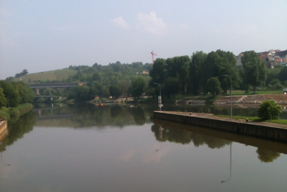
DIe Tour beinhaltet alles was man brauch:

Nach jeder Steigung eine Abfahrt und zwischendrin viele Teilstücke, wo es gerade ist

Tour gallery

Tour map and elevation profile

  • Open Street Map
  • Google
Minimum height 187 m Maximum height 329 m Detailed view

More about the tour author

arnoldfischer
Member since 2012

Send private message

Comments

GPS tracks

Trackpoints
  • GPX / Garmin Map Source (gpx) download
  • TCX / Garmin Training Center® (tcx) download
  • CRS / Garmin Training Center® (crs) download
  • Google Earth (kml) download
  • G7ToWin (g7t) download
  • TTQV (trk) download
  • Overlay (ovl) download
  • Fugawi (txt) download
  • Kompass (DAV) Track (tk) download
  • Track data sheet (pdf) download
  • Original file of the author (gpx) download

More about the tour author

arnoldfischer
Member since 2012

Send private message
Share track
Add to my favorites
Remove from my favorites
Edit tags
My score
Rate
Track: Schwieberdingen nach Remseck dem Neckar entlang zur Schleuse Marbach - Seeschloss Monrepos
Type: Trekkingbike
Distance: 49,6 km
Evaluated on:
Duration:
Day(s)
Hour(s)
Minute(s)
Score: Landscape Fun factor Fitness Technique