Login

Forgot your login?

Cookies have to be accepted!
Your browser's cookie functionality is disabled. Please enable this functionality.

Not a member yet?

Register now
Login

Available for registred users only

Log in to use this feature.

Forgot your login?

Cookies have to be accepted!
Your browser's cookie functionality is disabled. Please enable this functionality.

Not a member yet?

Register now
Filter
Categories
Advanced filters
  • Distance (km)
  • Height
Save filters Reset filter

TrackRank

QRCode

Technical data

Distance41,1 km Height1061 m Way down1066 m Duration02:25 h:m Date28.05.2012
Scores Author User Landscape Fun factor Fitness Technique

Statistics

1130 Views 3 Scores 173 Downloads 4.00 Average
Rate
  • Track data sheet
  • Directions
  • Downloads

Der Beste Einstieg ist  Neuhaus 25 93149 Nittenau von dort aus geht der Weg in den Wald An der ersten Gabelung rechts zur Burg und dann immer der Route nach
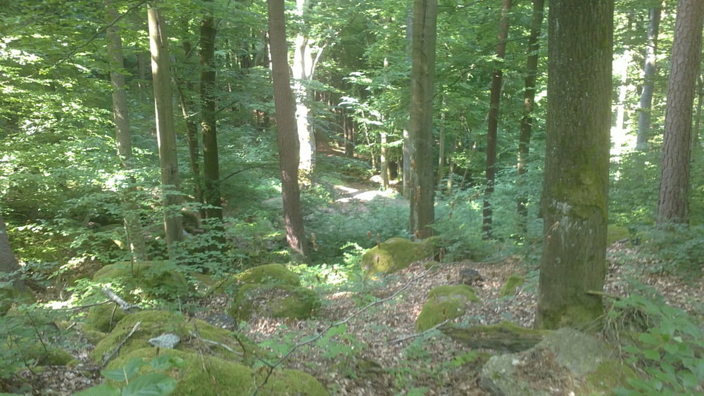
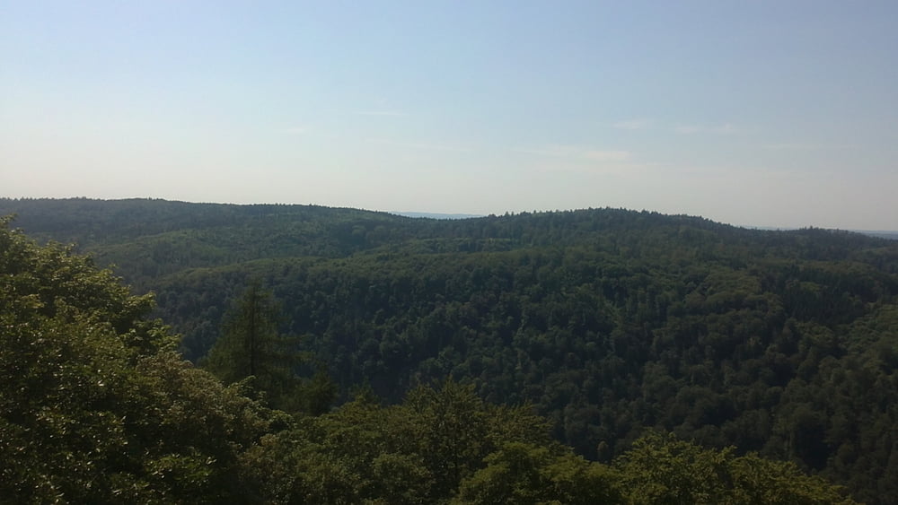

Tour gallery

Tour map and elevation profile

  • Open Street Map
  • Google
Minimum height 339 m Maximum height 611 m Detailed view

More about the tour author

roto83
Member since 2012

Send private message

Comments

GPS tracks

Trackpoints
  • GPX / Garmin Map Source (gpx) download
  • TCX / Garmin Training Center® (tcx) download
  • CRS / Garmin Training Center® (crs) download
  • Google Earth (kml) download
  • G7ToWin (g7t) download
  • TTQV (trk) download
  • Overlay (ovl) download
  • Fugawi (txt) download
  • Kompass (DAV) Track (tk) download
  • Track data sheet (pdf) download
  • Original file of the author (gpx) download

More about the tour author

roto83
Member since 2012

Send private message
Share track
Add to my favorites
Remove from my favorites
Edit tags
My score
Rate
Track: Regentalrunde Stockenfelser Burg - Wasserstein - Jugendberg - Hohenstein - Schwarzer Berg
Type: Mountain bike
Distance: 41,1 km
Evaluated on:
Duration:
Day(s)
Hour(s)
Minute(s)
Score: Landscape Fun factor Fitness Technique