


Diese Runde beginnt auf dem Parkplatz der Müngstner Brücke und führt zu 95 % über Wirtschaft- oder Wandewege. Die hälfte davon sind Singletrails zum teil sehr Steil und Verblockt. Eigentlich wollten wir noch von Glüdern an der Sengbachtalsperre vor bei aber die Zeit reichte nicht aus. Diese Wege sind auch an Sonn- oder Feiertagen immer noch gut befahrbar, da oberhalb im Berg nicht soviel Wanderer sind. Trotzdem Vorsichtig fahren zum teil sind die Trails nicht gut einsehrbar.
Viel Spaß beim Nachfahren!
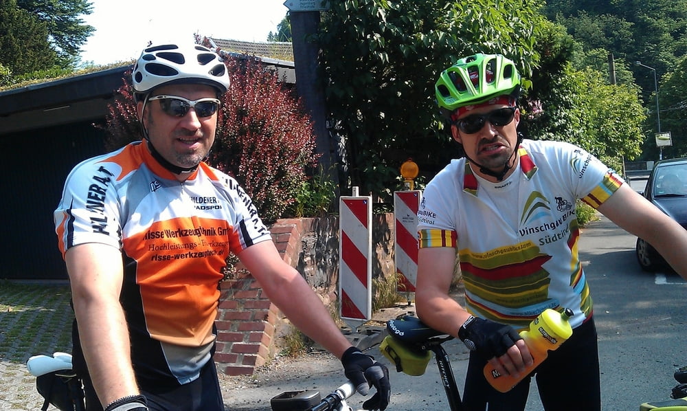
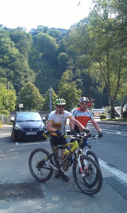
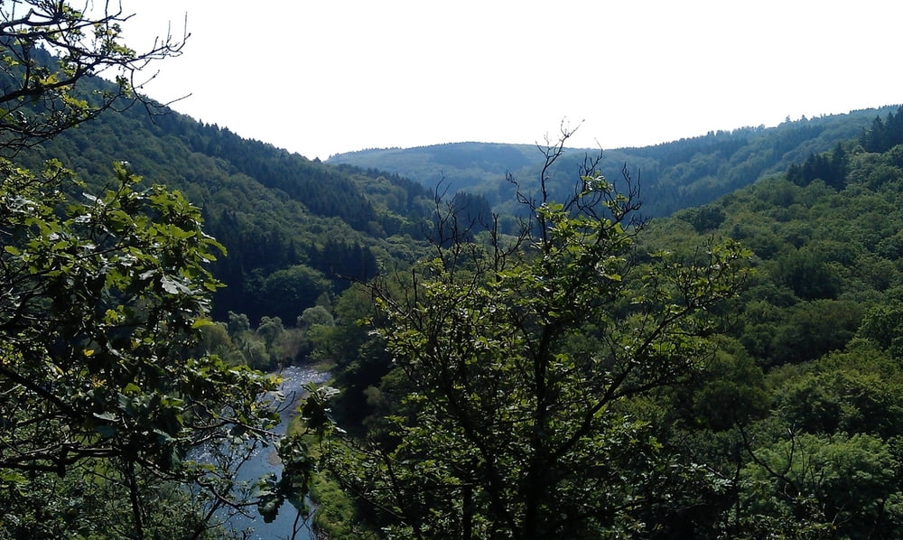
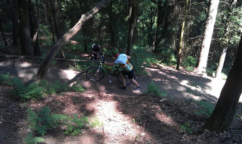
Tour gallery
Tour map and elevation profile
Minimum height 78 m
Maximum height 209 m
More about the tour author
|
|
MarcusVergin |
Comments
GPS tracks
Trackpoints-
GPX / Garmin Map Source (gpx) download
-
TCX / Garmin Training Center® (tcx) download
-
CRS / Garmin Training Center® (crs) download
-
Google Earth (kml) download
-
G7ToWin (g7t) download
-
TTQV (trk) download
-
Overlay (ovl) download
-
Fugawi (txt) download
-
Kompass (DAV) Track (tk) download
-
Track data sheet (pdf) download
-
Original file of the author (gpx) download
More about the tour author
|
|
MarcusVergin |
Add to my favorites
Remove from my favorites
Edit tags
Open track
My score
Rate
Nice round, but too easy
Said that:
The trail has around 20-30% of single trails. Never steep. The rest of it is on fire-roads. Very little asphalt though.
I think have not been studied very well:
- The part in the town that could have been skipped (I do not know why it passes through the town)
- there is a extremely steep uphill for about 800m that is almost impossible to cycle (also in the picture the guy is pushing the bike)
- there are nice downhils around the trail that could have been added to the track.
Panorama is quite nice.
Advised to those not looking for advanced stuff but only a nice half day walk.