Login

Forgot your login?

Cookies have to be accepted!
Your browser's cookie functionality is disabled. Please enable this functionality.

Not a member yet?

Register now
Login

Available for registred users only

Log in to use this feature.

Forgot your login?

Cookies have to be accepted!
Your browser's cookie functionality is disabled. Please enable this functionality.

Not a member yet?

Register now
Filter
Categories
Advanced filters
  • Distance (km)
  • Height
Save filters Reset filter

TrackRank

QRCode

Technical data

Distance177,6 km Height5185 m Way down5035 m Duration14:23 h:m Date29.05.2012
Scores Author Landscape Fun factor Fitness Technique

Statistics

448 Views 1 Score 32 Downloads 2.00 Average
Rate
  • Track data sheet
  • Directions
  • Downloads

Göstlingrunde
Göstling (vor GH Jagersberger)-Siebenhütten-Kitzhütte-
Hochreit-Göstling-Lunz a.S.


Lunz-Mariazell
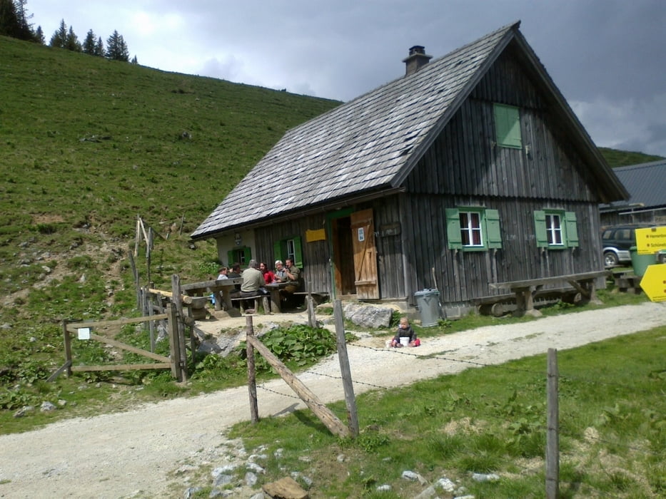
Lunz a.S.-Feldwiesalm-Gemeindealpe-Mitterbach-
St.Sebastian-Bürgeralpe-St.Sebastian-Mariazell


Mariazell-Mürzzuschlag
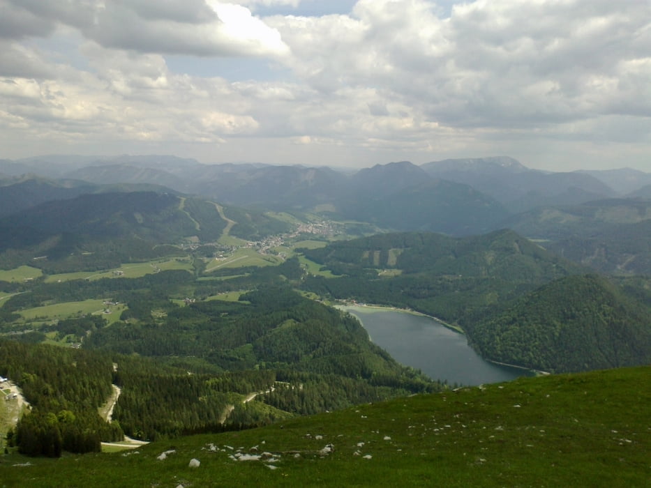
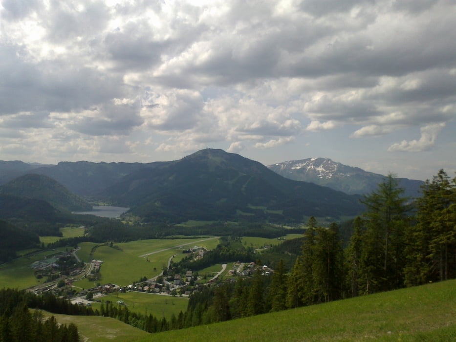
Mariazell-Gußwerk-Wetterl-Weissalm-Herrenboden-
Schöneben-Dürriegelalm-Dobrein-Mürzsteg-Falkensteinalm-
Krampen-Mürztalradweg nach Mürzzuschalg
 

Tour gallery

Tour map and elevation profile

  • Open Street Map
  • Google
Minimum height 525 m Maximum height 1628 m Detailed view

More about the tour author

mitter
Member since 2008

Send private message

Comments


Göstling vorm GH Jagersberger


GPS tracks

Trackpoints
  • GPX / Garmin Map Source (gpx) download
  • TCX / Garmin Training Center® (tcx) download
  • CRS / Garmin Training Center® (crs) download
  • Google Earth (kml) download
  • G7ToWin (g7t) download
  • TTQV (trk) download
  • Overlay (ovl) download
  • Fugawi (txt) download
  • Kompass (DAV) Track (tk) download
  • Track data sheet (pdf) download
  • Original file of the author (gpx) download

More about the tour author

mitter
Member since 2008

Send private message
Share track
Add to my favorites
Remove from my favorites
Edit tags
My score
Rate
Track: Göstling-Mürzzuschlag gesamt
Type: Mountain bike
Distance: 177,6 km
Evaluated on:
Duration:
Day(s)
Hour(s)
Minute(s)
Score: Landscape Fun factor Fitness Technique