Login

Forgot your login?

Cookies have to be accepted!
Your browser's cookie functionality is disabled. Please enable this functionality.

Not a member yet?

Register now
Login

Available for registred users only

Log in to use this feature.

Forgot your login?

Cookies have to be accepted!
Your browser's cookie functionality is disabled. Please enable this functionality.

Not a member yet?

Register now
Filter
Categories
Advanced filters
  • Distance (km)
  • Height
Save filters Reset filter

TrackRank

QRCode

Technical data

Distance30,2 km Height755 m Way down793 m Duration02:40 h:m Date01.06.2012
Scores Author Landscape Fun factor Fitness Technique

Statistics

526 Views Scores 195 Downloads Average
Rate
  • Track data sheet
  • Directions
  • Downloads
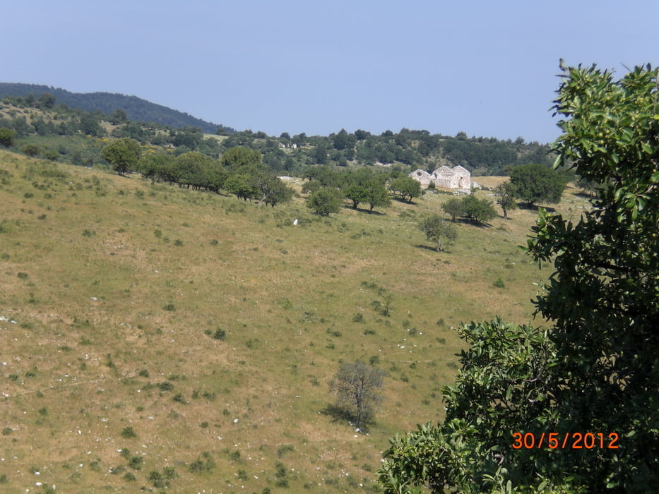
vom Camping Lalilio in Peschici fahren wir erst auf einem Teersträßchen und dann auf einem Schotterweg hoch in den Foreste Umbra. Wir kommen an einem Picknickplatz raus und fahren dann ein Stück auf der Teerstrasse (Vico - Foreste) ca. 4 km hinauf. Dann biegen wir links in den Wald, um dann auf einem Schotterweg wieder hinab Richtung Peschici zu fahren. Unten sind wir erst mal in einem ausgetrockneten Bachbett herumgeirrt, bis wir endlich den Weiterweg gefunden haben.

Further information at

http://www.garganobike.com/de/

Tour map and elevation profile

  • Open Street Map
  • Google
Minimum height -24 m Maximum height 666 m Detailed view

More about the tour author

Fruehaufsteher
Member since 2008

Send private message

Comments

ozinke on 20.04.2019

April 2019: Rückweg unfahrbar

Hallo, das ist eigentlich eine schöne Variante für Foreste Umbra. Bin die Tour gerade gefahren (April 2019). Auf dem Rückweg ab ungefähr 320hm - dort wo es links in den Wald hineingeht bis runter zum ausgetrockneten Flußbett- ist der Weg wegen sehr vieler quer über den Weg gestürzter Bäume unfahrbar. Es war mehr ein Klettern statt fahren...
Also vielleicht doch weiter geardeausfahren und dann die Straße nach links zurück nach Peschici fahren.

GPS tracks

Trackpoints
  • GPX / Garmin Map Source (gpx) download
  • TCX / Garmin Training Center® (tcx) download
  • CRS / Garmin Training Center® (crs) download
  • Google Earth (kml) download
  • G7ToWin (g7t) download
  • TTQV (trk) download
  • Overlay (ovl) download
  • Fugawi (txt) download
  • Kompass (DAV) Track (tk) download
  • Track data sheet (pdf) download
  • Original file of the author (gpx) download

More about the tour author

Fruehaufsteher
Member since 2008

Send private message
Share track
Add to my favorites
Remove from my favorites
Edit tags
My score
Rate
Track: Gargano-Foreste Umbra 5
Type: Mountain bike
Distance: 30,2 km
Evaluated on:
Duration:
Day(s)
Hour(s)
Minute(s)
Score: Landscape Fun factor Fitness Technique