


Start und Ziel:
Camping de l'Arche, Route de Saint Jean du Gard, 30140 Anduze
Vom Campingplatz nach Anduze, über die Brücke und auf der D910A (Route d'Alès) bergauf.
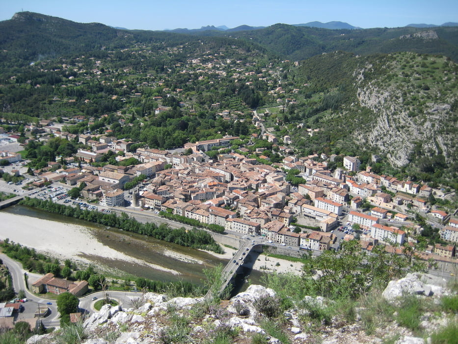
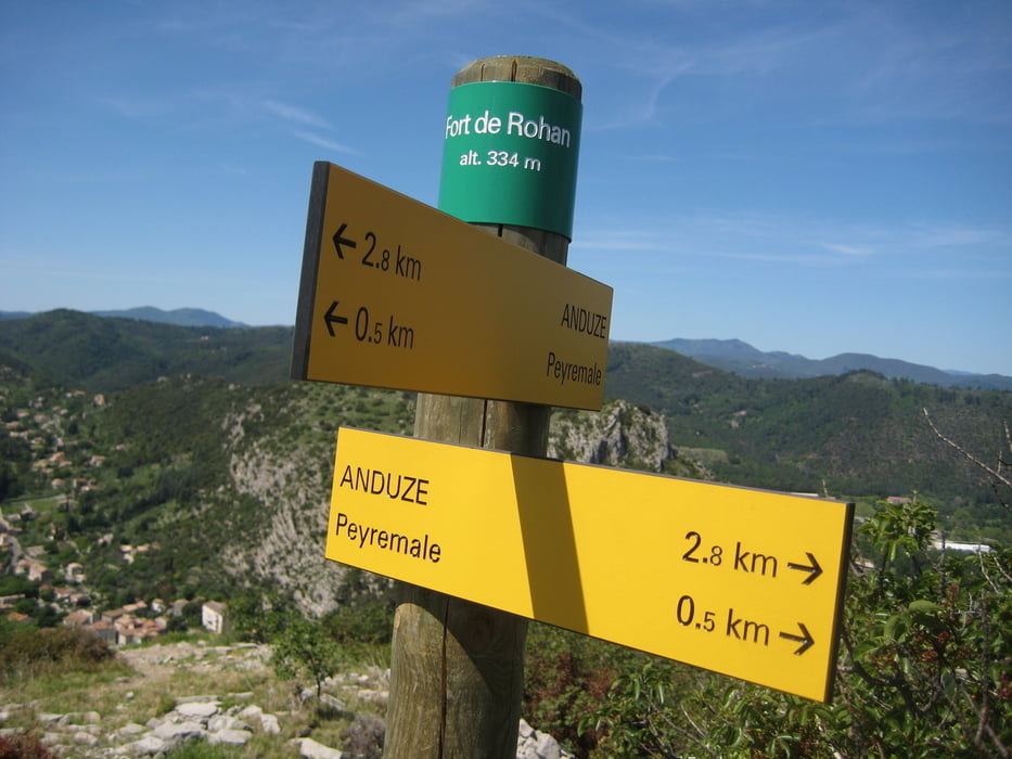
Links abbiegen und nach 1,6 km den Chemin du Montaud verlassen und auf einem Pfad weiter zum ehemaligen Fort de Rohan mit tollem Ausblick.
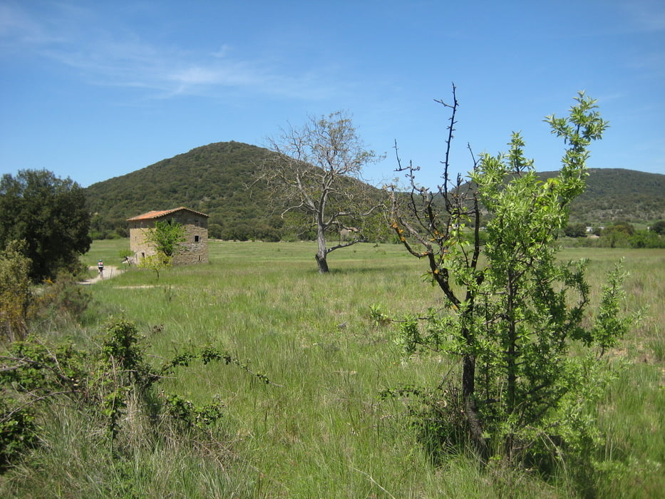
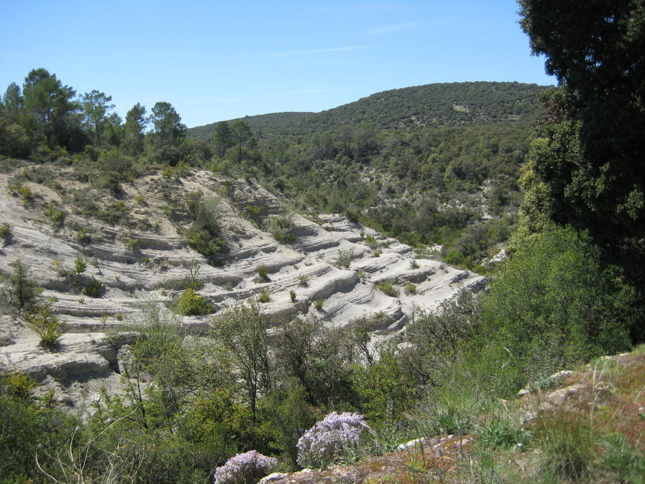
Bis zum letzten Abzweig zurück und auf dem Plateau weiter nach Peyremale. Von dort zum L'homme Mort, nach Blateiras und auf dem Kamm weiter und hinunter nach Cornadel.
Auf der Straße zurück nach Anduze und zum Campingplatz.
--------------------
Point de départ:
Camping de l'Arche, Route de Saint Jean du Gard, 30140 Anduze
Se rendre à Anduze, traverser le Gardon et monter sur la D 910A (Route d'Alès).
Tourner à gauche et, après 1,6 kms, quitter le chemin du Montaud pour se rendre à l'ancien Fort de Rohan, un magnifique point de vue sur Anduze et sa cluse.
Faire demi-tour, descendre le sentier et continuer jusqu'à Peyremale, ensuite à l'Homme mort et à Blateiras. Monter sur la crête et descendre à Cornadel.
Prendre la route pour rentrer à Anduze et au camping.
Further information at
http://www.camping-arche.frTour gallery
Tour map and elevation profile
Minimum height 121 m
Maximum height 343 m
More about the tour author
|
|
haelge |
Comments

GPS tracks
Trackpoints-
GPX / Garmin Map Source (gpx) download
-
TCX / Garmin Training Center® (tcx) download
-
CRS / Garmin Training Center® (crs) download
-
Google Earth (kml) download
-
G7ToWin (g7t) download
-
TTQV (trk) download
-
Overlay (ovl) download
-
Fugawi (txt) download
-
Kompass (DAV) Track (tk) download
-
Track data sheet (pdf) download
-
Original file of the author (gpx) download
More about the tour author
|
|
haelge |
Add to my favorites
Remove from my favorites
Edit tags
Open track
My score
Rate