


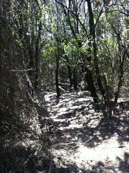
Variante der Baratti Trails.
Achtung eigentlich nicht zu empfehlen, da man zwei Zäune mit 2,00 Meter Höhe überwinden muss. Vor den Zäunen ist ein Pfad Downhill zu meistern, der dem ganzen eine zusätzliche abenteuerliche Note verleiht!
Der Track dient mehr oder weniger der Dokumentation wo die Tore sind, damit man nicht plötzlich vor einem fast unüberwindbarem Hindernis steht. In OpenStreetMap sind die Sperrungen der Wege nicht eingezeichnet!
Rückfahrt über die Straße die nicht zu empfehlen ist. Außer man hat Rückenwind und man möchte mal wieder richitg schnell fahren...
Tour gallery

Tour map and elevation profile
Minimum height 6 m
Maximum height 271 m
More about the tour author

|
mcmeier |
Comments

GPS tracks
Trackpoints-
GPX / Garmin Map Source (gpx) download
-
TCX / Garmin Training Center® (tcx) download
-
CRS / Garmin Training Center® (crs) download
-
Google Earth (kml) download
-
G7ToWin (g7t) download
-
TTQV (trk) download
-
Overlay (ovl) download
-
Fugawi (txt) download
-
Kompass (DAV) Track (tk) download
-
Track data sheet (pdf) download
-
Original file of the author (gpx) download
More about the tour author
|
|
mcmeier |
Add to my favorites
Remove from my favorites
Edit tags
Open track
My score
Rate