Login

Forgotten password?

Cookies have to be accepted!
Your browser's cookie functionality is disabled. Please enable this functionality.

Not a member yet?

Register now
Login

Available for registred users only

Log in to use this feature.

Forgotten password?

Cookies have to be accepted!
Your browser's cookie functionality is disabled. Please enable this functionality.

Not a member yet?

Register now
Filter
Categories
Advanced filters
  • Distance (km)
  • Height
Save filters Reset filter

TrackRank

QRCode

Technical data

Distance10,5 km Height106 m Way down107 m Duration00:00 h:m Date20.08.2007
Scores Author Landscape Fun factor Fitness Technique

Statistics

1600 Views Scores 49 Downloads Average
Rate
  • Track data sheet
  • Directions
  • Downloads
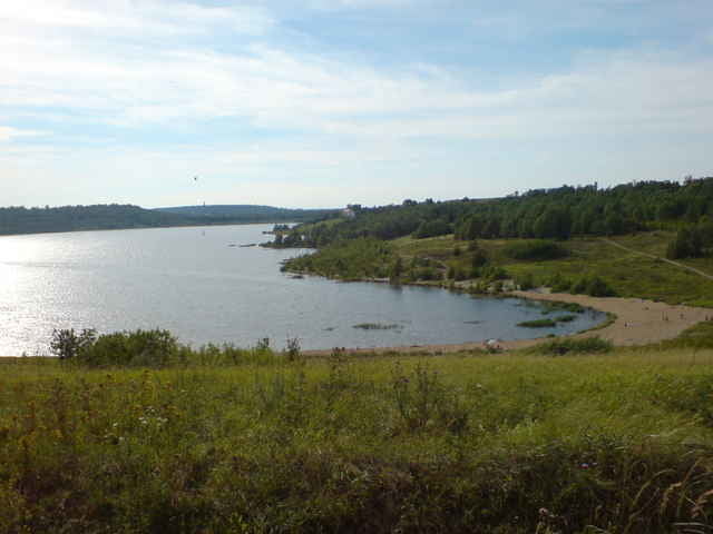
gut asphaltierter Rundweg um den Südfeldsee mit div. leichten Gefälle/Steigungspassagen

Tour map and elevation profile

  • Open Street Map
  • Google
Minimum height 69 m Maximum height 150 m Detailed view

More about the tour author

bubble

Comments

von Merseburg kommend Richtung Mücheln fahren , zwischen Frankleben und Braunsbedra links abbiegen in Richtg. Großkayna , am Ortseingang Großkayna scharf rechts abbiegen in Richtg. Sportplatz von wo aus ein guter Einstieg in die Strecke möglich ist

GPS tracks

Trackpoints
  • GPX / Garmin Map Source (gpx) download
  • TCX / Garmin Training Center® (tcx) download
  • CRS / Garmin Training Center® (crs) download
  • Google Earth (kml) download
  • G7ToWin (g7t) download
  • TTQV (trk) download
  • Overlay (ovl) download
  • Fugawi (txt) download
  • Kompass (DAV) Track (tk) download
  • Track data sheet (pdf) download
  • Original file of the author (gpx) download

More about the tour author

bubble

Share track
Add to my favorites
Remove from my favorites
Edit tags
My score
Rate
Track: Rund um den Südfeldsee
Type: Inline skating
Distance: 10,5 km
Evaluated on:
Duration:
Day(s)
Hour(s)
Minute(s)
Score: Landscape Fun factor Fitness Technique