


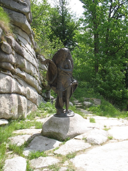
Die Wanderung führt durch gut begehbares Gelände, teils schmale Wanderwege und führt durch verschiedene Landschaften, wie offenes Gelände, Wald, Ruinen und Felsformationen.
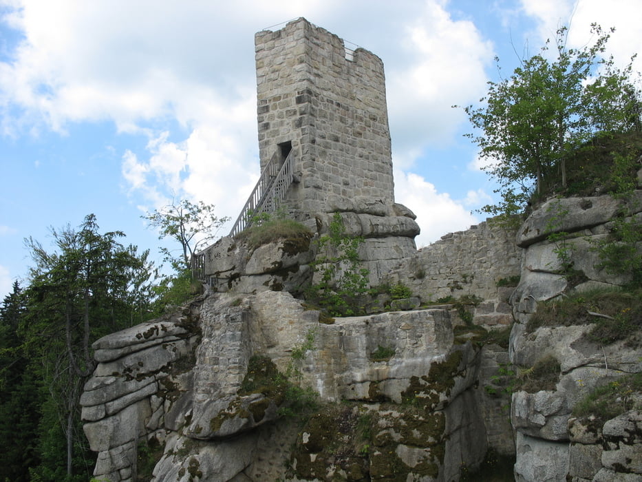
Höhepunkte sind dabei die Burgruine Weißenstein mit dem nahe gelegenen Felsen Kiebitzstein und der Hackelstein mit Aussichtspunkt
Tour gallery
Tour map and elevation profile
Minimum height 629 m
Maximum height 865 m
More about the tour author
|
|
kaidietze |
Comments

Parkmöglichkeit an der Straße zwischen Poppenreuth und Friedenfels oder in Herzogöd zwischen Poppenreuth und Fuchsmühl
GPS tracks
Trackpoints-
GPX / Garmin Map Source (gpx) download
-
TCX / Garmin Training Center® (tcx) download
-
CRS / Garmin Training Center® (crs) download
-
Google Earth (kml) download
-
G7ToWin (g7t) download
-
TTQV (trk) download
-
Overlay (ovl) download
-
Fugawi (txt) download
-
Kompass (DAV) Track (tk) download
-
Track data sheet (pdf) download
-
Original file of the author (gpx) download
More about the tour author
|
|
kaidietze |
Add to my favorites
Remove from my favorites
Edit tags
Open track
My score
Rate