Login

Forgot your login?

Cookies have to be accepted!
Your browser's cookie functionality is disabled. Please enable this functionality.

Not a member yet?

Register now
Login

Available for registred users only

Log in to use this feature.

Forgot your login?

Cookies have to be accepted!
Your browser's cookie functionality is disabled. Please enable this functionality.

Not a member yet?

Register now
Filter
Categories
Advanced filters
  • Distance (km)
  • Height
Save filters Reset filter

TrackRank

QRCode

Technical data

Distance36,5 km Height780 m Way down781 m Duration03:15 h:m Date06.06.2012
Scores Author Landscape Fun factor Fitness Technique

Statistics

683 Views 2 Scores 141 Downloads 2.50 Average
Rate
  • Track data sheet
  • Directions
  • Downloads

Start/ Ziel: Wachenheim

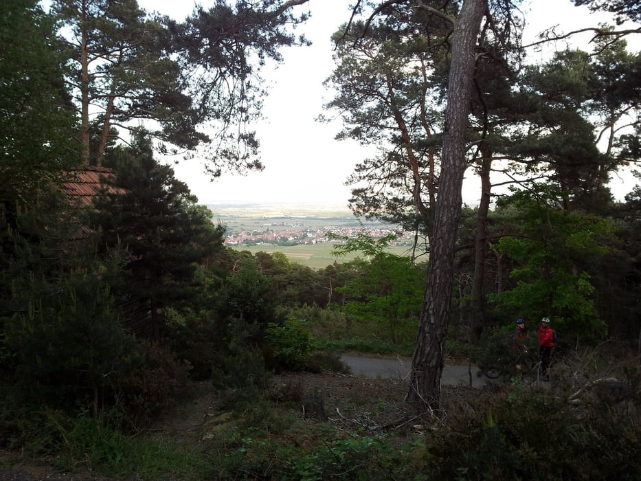
Runde um den Kurpfalzpark über den Hinteren Stoppelkopf und Weinbiet (traumhafte Aussicht auf den Pfälzer Wald) bis oberhalb von Neustadt an der Weinstraße zurück durch die Weinberge.

Profil: Sanfte Anstiege auf Forst- und Kieswegen, ebenso flowige Abfahrten auf Forst- und Kieswegen, oberhalb von Mußbach ein schöner Single-Trail auf Waldboden mit anspruchsvolleeren Stellen (Chicken-Run vorhanden).
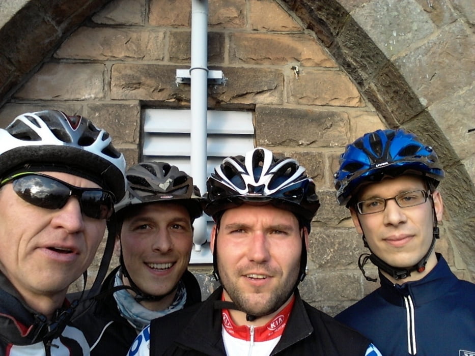
Tour gallery

Tour map and elevation profile

  • Open Street Map
  • Google
Minimum height 134 m Maximum height 563 m Detailed view

More about the tour author

DerFloh
Member since 2010

Send private message

Comments

albmountain on 26.06.2014

schöne Tour

Gemütliche sich steigernde Tour, am Ende sehr nette Traileinlagen,super!
Parkplatz in Wachenheim am Waldrand bietet sich an, s. Startpunkt der GPS-Strecke

GPS tracks

Trackpoints
  • GPX / Garmin Map Source (gpx) download
  • TCX / Garmin Training Center® (tcx) download
  • CRS / Garmin Training Center® (crs) download
  • Google Earth (kml) download
  • G7ToWin (g7t) download
  • TTQV (trk) download
  • Overlay (ovl) download
  • Fugawi (txt) download
  • Kompass (DAV) Track (tk) download
  • Track data sheet (pdf) download
  • Original file of the author (gpx) download

More about the tour author

DerFloh
Member since 2010

Send private message
Share track
Add to my favorites
Remove from my favorites
Edit tags
My score
Rate
Track: Feierabendrunde 1 WLL/DE
Type: Mountain bike
Distance: 36,5 km
Evaluated on:
Duration:
Day(s)
Hour(s)
Minute(s)
Score: Landscape Fun factor Fitness Technique