Login

Forgot your login?

Cookies have to be accepted!
Your browser's cookie functionality is disabled. Please enable this functionality.

Not a member yet?

Register now
Login

Available for registred users only

Log in to use this feature.

Forgot your login?

Cookies have to be accepted!
Your browser's cookie functionality is disabled. Please enable this functionality.

Not a member yet?

Register now
Filter
Categories
Advanced filters
  • Distance (km)
  • Height
Save filters Reset filter

TrackRank

QRCode

Technical data

Distance50,4 km Height616 m Way down607 m Duration03:35 h:m Date08.06.2012
Scores Author Landscape Fun factor Fitness Technique

Statistics

1465 Views Scores 71 Downloads Average
Rate
  • Track data sheet
  • Directions
  • Downloads

Abwechslungsreiche Tour mit schönen Trails und Abfahrten.

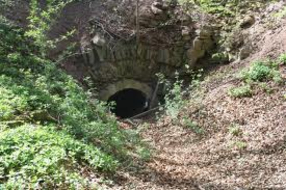
Über Schießhaus Unternesselbach nach Deutenheim, vorbei an Krautostheim nach Markt Nordheim und hoch zur Ruine Hohenlandsberg.

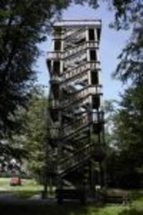
Weiter Richtung Iffigheimer Berg; evtl. mit Abstecher zum Andreas Därr Turm (Sonn- und Feiertags ab ca. 13:00 Uhr geöffnet).

www.nenzenheim.de/tourismus.htm

Nun zum Aussichtsturm bei Markt Bibart und abschließend nach Sugenheim zum "Belohnungsweizen" ;-)))


Tour gallery

Tour map and elevation profile

  • Open Street Map
  • Google
Minimum height 312 m Maximum height 520 m Detailed view

More about the tour author

Tormek
Member since 2011

Send private message

Comments

GPS tracks

Trackpoints
  • GPX / Garmin Map Source (gpx) download
  • TCX / Garmin Training Center® (tcx) download
  • CRS / Garmin Training Center® (crs) download
  • Google Earth (kml) download
  • G7ToWin (g7t) download
  • TTQV (trk) download
  • Overlay (ovl) download
  • Fugawi (txt) download
  • Kompass (DAV) Track (tk) download
  • Track data sheet (pdf) download
  • Original file of the author (gpx) download

More about the tour author

Tormek
Member since 2011

Send private message
Share track
Add to my favorites
Remove from my favorites
Edit tags
My score
Rate
Track: Langenfeld - Hohenlandsberg - Iffigheimer Berg
Type: Mountain bike
Distance: 50,4 km
Evaluated on:
Duration:
Day(s)
Hour(s)
Minute(s)
Score: Landscape Fun factor Fitness Technique