


Hier die Tour wie immer in Stichworten:
- Start in Ludwigswinkel - Zentrum
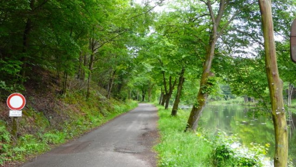
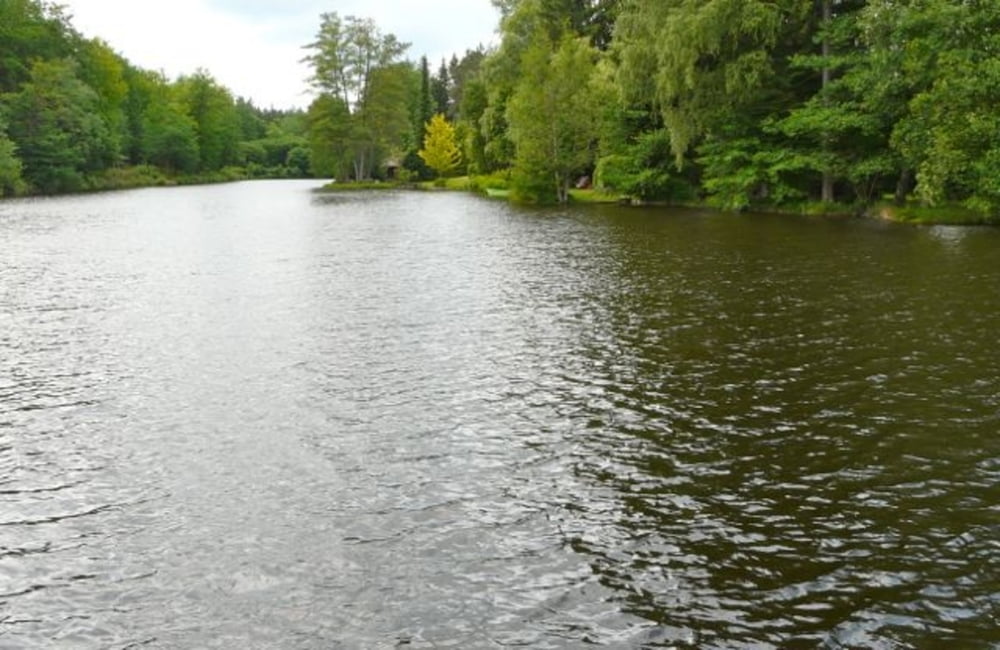
- Schönthaler Weiher
- Eppenbrunn
- Roppeviller (auf dem Helmut-Kohl-Weg)
- Bitche-Camp (auf dem Weg li und re leider Militärgelände -;) )
- Sturzelbronn
- Bremmendell
- Ludwigswinkel
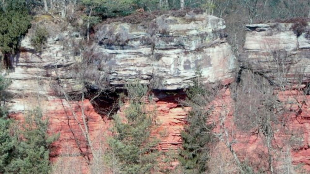
Die Landschaft ist super, leider störten die Schussübungen des französischen Militärs auf dem Weg nach Bitche ...
Tour gallery
Tour map and elevation profile
Minimum height 231 m
Maximum height 367 m
More about the tour author

|
wosob |
Comments

Nach Ludwigswinkel fährt man - von Westen kommend - über Bad Bergzabern in Richtung Dahn/Pirmasens und zweigt dann in Höhe Vorderweidenthal nach links Richtung Niederschlettenbach - Bundenthal, dort wieder links Richtung Schönau - Ludwigswinkel.
GPS tracks
Trackpoints-
GPX / Garmin Map Source (gpx) download
-
TCX / Garmin Training Center® (tcx) download
-
CRS / Garmin Training Center® (crs) download
-
Google Earth (kml) download
-
G7ToWin (g7t) download
-
TTQV (trk) download
-
Overlay (ovl) download
-
Fugawi (txt) download
-
Kompass (DAV) Track (tk) download
-
Track data sheet (pdf) download
-
Original file of the author (gpx) download
More about the tour author
|
|
wosob |
Add to my favorites
Remove from my favorites
Edit tags
Open track
My score
Rate