


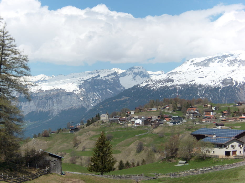
Eine lohnende Bergwanderung mit Aufstieg aus dem Domleschg nach Feldis mit vielen schönen Ausblicken. Im Frühjahr besonders zu empfehlen, wenn noch Schnee liegt auf den höheren Bergen und die Wiesenblumen blühen. Im Sommer kann der Aufstieg bei schönem Wetter heiss werden. Der Abstieg führt in die nächste Geländekammer ins Rheinteil.
Karten: swisstopo 1:25'000 Blätter 1195 Reichenau und 1215 Thusis
Fahrpläne siehe weitere Informationen
Further information at
http://fahrplan.sbb.ch/bin/query.exe/dnTour gallery


Tour map and elevation profile
Minimum height 607 m
Maximum height 1500 m
More about the tour author
|
|
mabrueckner |
Comments

Mit Bahn nach Rothenbrunnen, Bahnhof oder mit Postauto nach Rothenbrunnen, Dorf
Mit Bahn ab Reichenau oder mit Postauto ab Tamins, Post
Mit Bahn ab Reichenau oder mit Postauto ab Tamins, Post
GPS tracks
Trackpoints-
GPX / Garmin Map Source (gpx) download
-
TCX / Garmin Training Center® (tcx) download
-
CRS / Garmin Training Center® (crs) download
-
Google Earth (kml) download
-
G7ToWin (g7t) download
-
TTQV (trk) download
-
Overlay (ovl) download
-
Fugawi (txt) download
-
Kompass (DAV) Track (tk) download
-
Track data sheet (pdf) download
-
Original file of the author (gpx) download
More about the tour author
|
|
mabrueckner |
Add to my favorites
Remove from my favorites
Edit tags
Open track
My score
Rate