


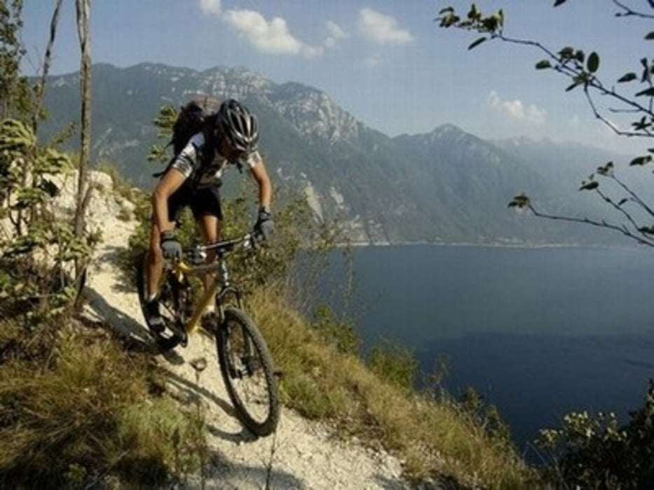
Superschwere Rundtour über den Monte Altissimo di Nago in Anlehnung an Moser Bike Guide - Gardasee 1, Tour 42 - Monte Altissimo.
Ich würde mich freuen, wenn ihr mir nach absolvierter Tour ein kurzes Feedback geben könntet.
Further information at
http://de.wikipedia.org/wiki/GardaseeTour gallery
Tour map and elevation profile
Minimum height 69 m
Maximum height 2050 m
More about the tour author
|
|
joestreich |
Comments
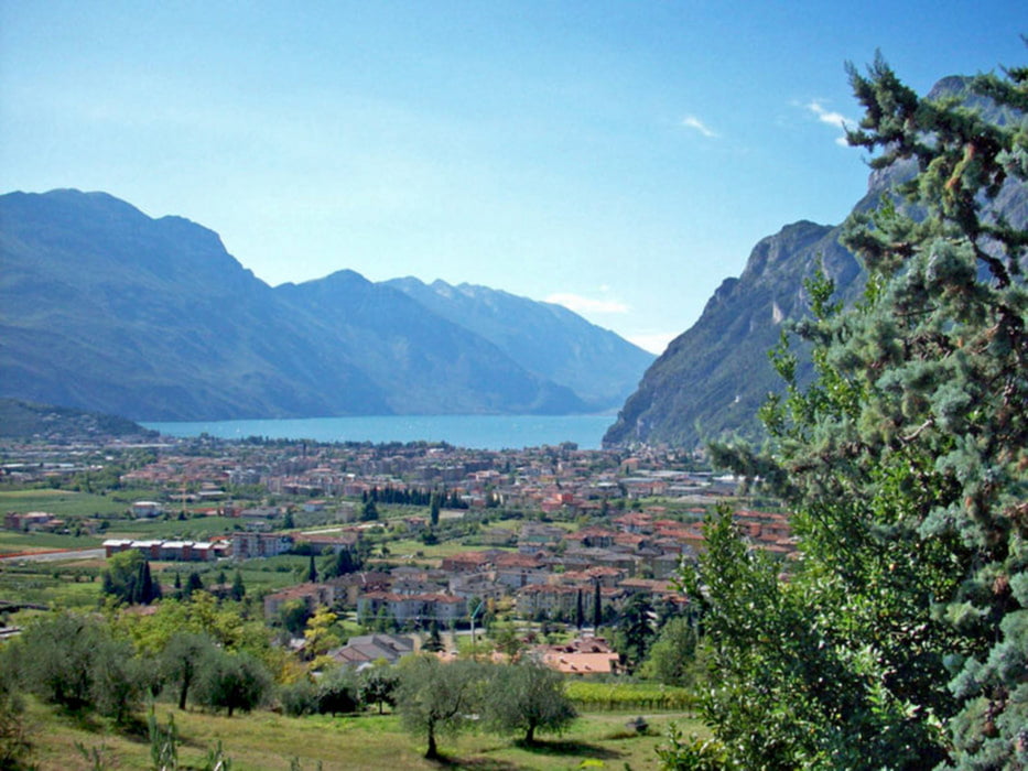
Start und Ziel befindet sich an der Verkehrsinsel/ Kreisverkehr in Torbole.
GPS tracks
Trackpoints-
GPX / Garmin Map Source (gpx) download
-
TCX / Garmin Training Center® (tcx) download
-
CRS / Garmin Training Center® (crs) download
-
Google Earth (kml) download
-
G7ToWin (g7t) download
-
TTQV (trk) download
-
Overlay (ovl) download
-
Fugawi (txt) download
-
Kompass (DAV) Track (tk) download
-
Track data sheet (pdf) download
-
Original file of the author (gpx) download
More about the tour author
|
|
joestreich |
Add to my favorites
Remove from my favorites
Edit tags
Open track
My score
Rate
super Tour, aber umgekehrt
habe diese Tour jetzt an Pfingsten gemacht, jedoch sind wir sie im Uhrzeigersinn gefahren. Das hat den bestechenden Vorteil, dass die Steigung (meist auf der Straße) durchgängig fahrbar ist und der 601 nur abwärts gefahren werden muss.
Gruß