Login

Forgot your login?

Cookies have to be accepted!
Your browser's cookie functionality is disabled. Please enable this functionality.

Not a member yet?

Register now
Login

Available for registred users only

Log in to use this feature.

Forgot your login?

Cookies have to be accepted!
Your browser's cookie functionality is disabled. Please enable this functionality.

Not a member yet?

Register now
Filter
Categories
Advanced filters
  • Distance (km)
  • Height
Save filters Reset filter

TrackRank

QRCode

Technical data

Distance29,0 km Height366 m Way down380 m Duration02:15 h:m Date10.06.2012
Scores Author Landscape Fun factor Fitness Technique

Statistics

1135 Views Scores 77 Downloads Average
Rate
  • Track data sheet
  • Directions
  • Downloads

Treumal - Palamos - Platja sa Fosca - S. Esteve d M. - Jardi Botanic de Cap Roig - Treumal

Nachdem man die Stadt Palamos hinter sich gelassen hat, folgt man dicht der Küstenlinie. Im Wald des Cap Roig ein schöner Trail.
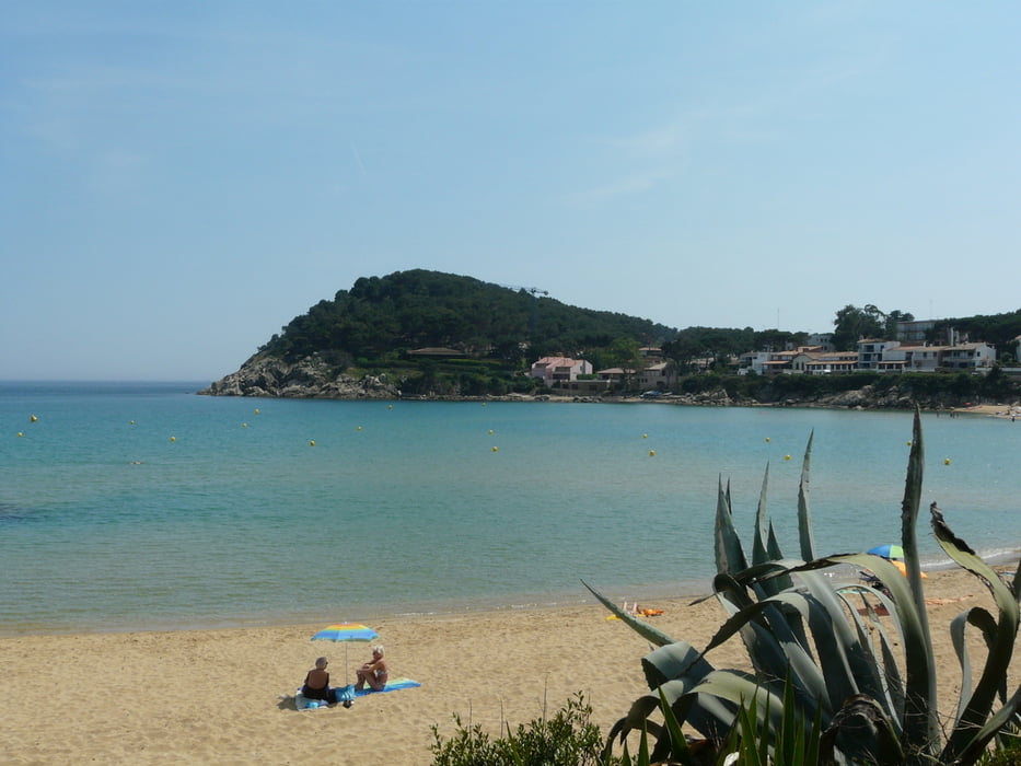
Tour gallery

Tour map and elevation profile

  • Open Street Map
  • Google
Minimum height -11 m Maximum height 118 m Detailed view

More about the tour author

JV
Member since 2006

Send private message

Comments

Start am Campingplatz Treumal (sehr schön terrassenförmig in einer Bucht angelegt)

GPS tracks

Trackpoints
  • GPX / Garmin Map Source (gpx) download
  • TCX / Garmin Training Center® (tcx) download
  • CRS / Garmin Training Center® (crs) download
  • Google Earth (kml) download
  • G7ToWin (g7t) download
  • TTQV (trk) download
  • Overlay (ovl) download
  • Fugawi (txt) download
  • Kompass (DAV) Track (tk) download
  • Track data sheet (pdf) download
  • Original file of the author (gpx) download

More about the tour author

JV
Member since 2006

Send private message
Share track
Add to my favorites
Remove from my favorites
Edit tags
My score
Rate
Track: Costa Brava - zum Cap Roig
Type: Mountain bike
Distance: 29,0 km
Evaluated on:
Duration:
Day(s)
Hour(s)
Minute(s)
Score: Landscape Fun factor Fitness Technique