

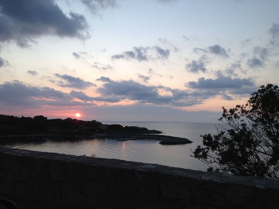
Die Tour ist eine wunderschöne Feierabendtour. 1. wegen der Kürze, 2. wird man beim Rückweg mit einem Sonnenuntergang bei Traum-Panorama belohnt.
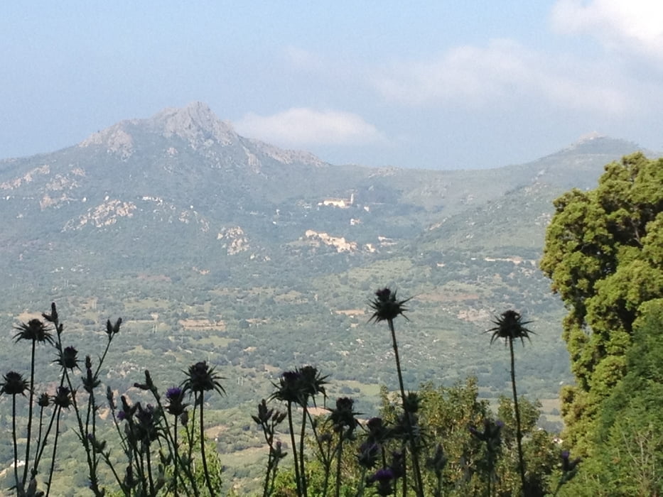
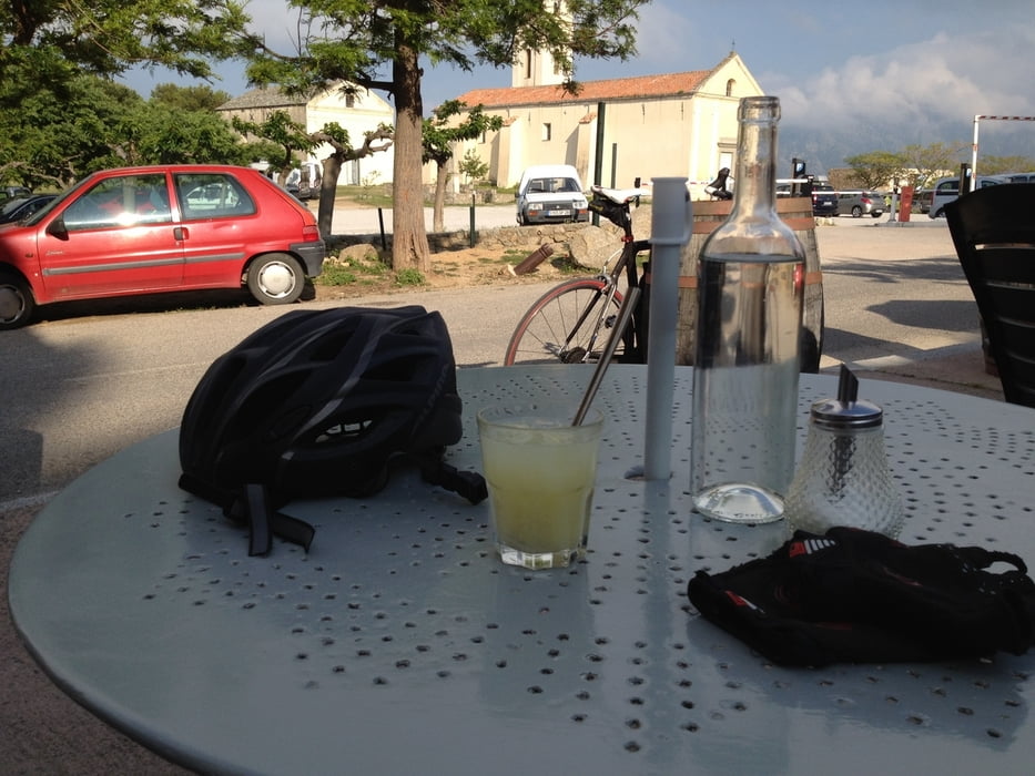
Man startet in Calvi und fährt bei stetiger Steigung über Lumino nach Saint Antonio (dem Adlerhorst) . Das mittelalterliche Dorf sitzt von weitem sichtbar auf einer Bergkuppe und ist nur zu Fuß zu besichtigen. Unbedingt die frichgepresste Zitronenlimonade am Ortseingang probieren.. Heim geht´s dann nur bergab und ein Sprung in´s türkise Meer ist auch noch drinn, was will man vor´m Dämmerschoppen mehr?
Viel Spass!
Tour gallery
Tour map and elevation profile
Minimum height 3 m
Maximum height 454 m
More about the tour author
|
|
berndhuber |
Comments

Ab Calvi
GPS tracks
Trackpoints-
GPX / Garmin Map Source (gpx) download
-
TCX / Garmin Training Center® (tcx) download
-
CRS / Garmin Training Center® (crs) download
-
Google Earth (kml) download
-
G7ToWin (g7t) download
-
TTQV (trk) download
-
Overlay (ovl) download
-
Fugawi (txt) download
-
Kompass (DAV) Track (tk) download
-
Track data sheet (pdf) download
-
Original file of the author (gpx) download
More about the tour author
|
|
berndhuber |
Add to my favorites
Remove from my favorites
Edit tags
Open track
My score
Rate