

Von Calvi auf der N197 Nach líle Rousse weiter bis kurz vor Lozari am Codole stausee vorbei hoch nach Muro weiter nach Cateri und über Montemaggiore wieder nach Calvi.
Viel Spaß!
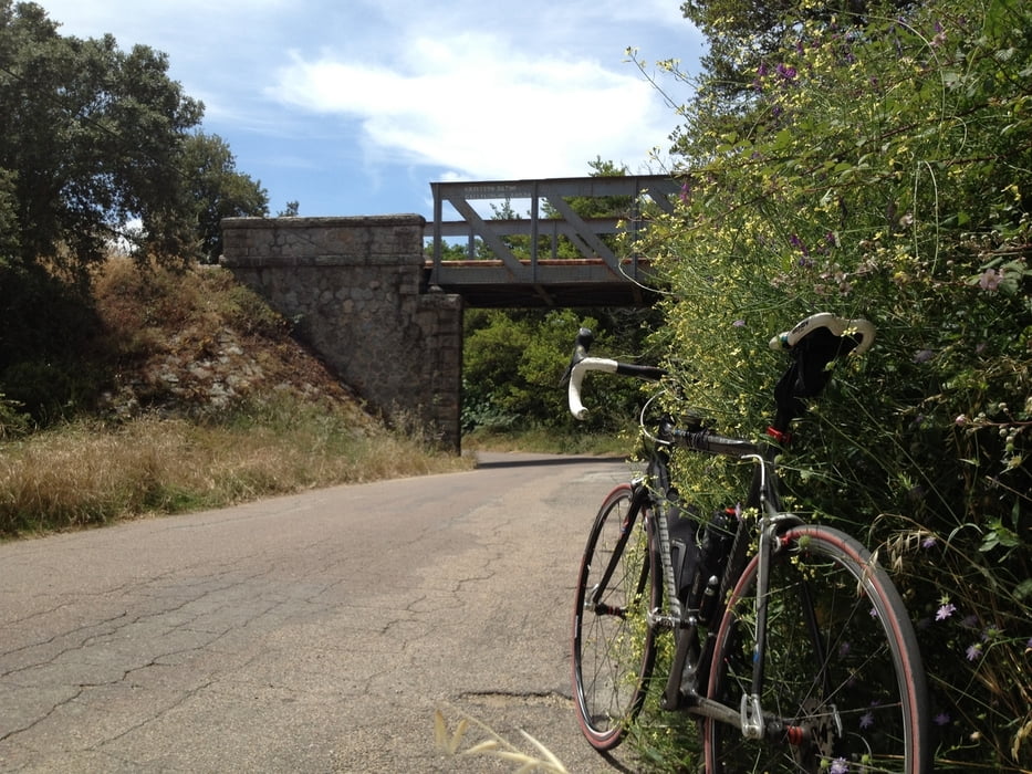
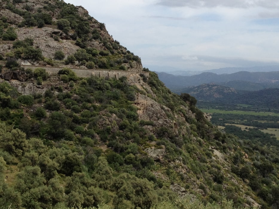
Tour gallery
Tour map and elevation profile
Minimum height 4 m
Maximum height 534 m
More about the tour author
|
|
berndhuber |
Comments

Ab Calvi
GPS tracks
Trackpoints-
GPX / Garmin Map Source (gpx) download
-
TCX / Garmin Training Center® (tcx) download
-
CRS / Garmin Training Center® (crs) download
-
Google Earth (kml) download
-
G7ToWin (g7t) download
-
TTQV (trk) download
-
Overlay (ovl) download
-
Fugawi (txt) download
-
Kompass (DAV) Track (tk) download
-
Track data sheet (pdf) download
-
Original file of the author (gpx) download
More about the tour author
|
|
berndhuber |
Add to my favorites
Remove from my favorites
Edit tags
Open track
My score
Rate