Login

Forgot your login?

Cookies have to be accepted!
Your browser's cookie functionality is disabled. Please enable this functionality.

Not a member yet?

Register now
Login

Available for registred users only

Log in to use this feature.

Forgot your login?

Cookies have to be accepted!
Your browser's cookie functionality is disabled. Please enable this functionality.

Not a member yet?

Register now
Filter
Categories
Advanced filters
  • Distance (km)
  • Height
Save filters Reset filter

TrackRank

QRCode

Technical data

Distance7,1 km Height239 m Way down239 m Duration00:50 h:m Date15.06.2012
Scores Author Landscape Fun factor Fitness Technique

Statistics

1243 Views Scores 377 Downloads Average
Rate
  • Track data sheet
  • Directions
  • Downloads

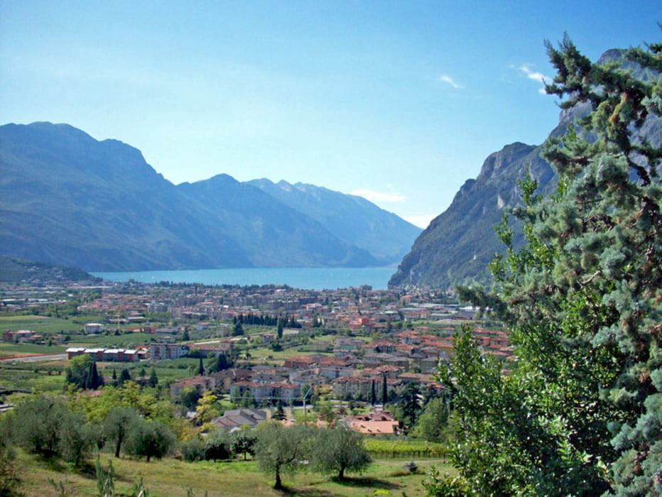
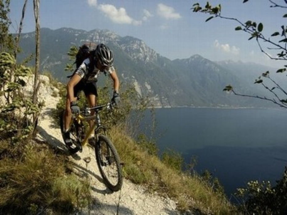
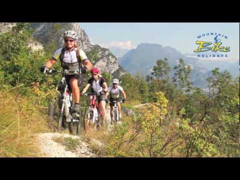
Leichte Rundtour zum Panoramafelsen und der Ruine des Castel Penede in Anlehnung an Moser Bike Guide 11 - Gardasee 1, Tour 2 - Castel Penede/ Marmitte Dei Giganti.

Ich würde mich freuen, wenn ihr mir nach absolvierter Tour ein kurzes Feedback geben könntet.


Further information at

http://de.wikipedia.org/wiki/Gardasee

Tour gallery

Tour map and elevation profile

  • Open Street Map
  • Google
Minimum height 69 m Maximum height 261 m Detailed view

More about the tour author

joestreich
Member since 2010

Send private message

Comments

trwirth on 09.04.2013

Streckenführung

Ein Hinweis in der Via Pontalti unbedingt rechts zu fahren, damit man den wunderschönen alten Römerweg abwärts fährt wäre schön gewesen. GPS Daten und Straße stimmen nicht überein - anscheinend im Wohnzimmer auf der Karte erstellt und nicht selbst gefahren...

Leider kein positives Feedback!
Vriehg on 08.06.2022

Strada Santa Lucia leider mittlerweile für Biker g

Der wunderbare Karrenweg darf aktuell leider nicht mehr befahren werden (Bike Verbot Schild) Zur Not halt schieben ;-)

Start und Ziel befindet sich an der Verkehrsinsel/ Kreisverkehr in Torbole.


GPS tracks

Trackpoints
  • GPX / Garmin Map Source (gpx) download
  • TCX / Garmin Training Center® (tcx) download
  • CRS / Garmin Training Center® (crs) download
  • Google Earth (kml) download
  • G7ToWin (g7t) download
  • TTQV (trk) download
  • Overlay (ovl) download
  • Fugawi (txt) download
  • Kompass (DAV) Track (tk) download
  • Track data sheet (pdf) download
  • Original file of the author (gpx) download

More about the tour author

joestreich
Member since 2010

Send private message
Share track
Add to my favorites
Remove from my favorites
Edit tags
My score
Rate
Track: Moser Bike Guide 11 - Tour 02 - Castel Penede
Type: Mountain bike
Distance: 7,1 km
Evaluated on:
Duration:
Day(s)
Hour(s)
Minute(s)
Score: Landscape Fun factor Fitness Technique