


Vom Campingplatz Arco ging's los vorbei an den Klettergärten in Massone rauf nach Troiana und Carobbi. Nach etwa 15 KM und gut 1000 überwundenen Höhenmeter'n ging's langsam in Richtung Malga Zanga und anschl. auf den höchsten Punkt der Tour.
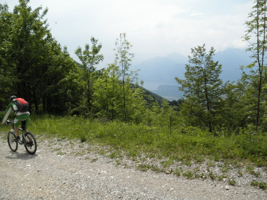
Anschließend passierten wir S. Barbara und machten uns daran, die Höhenmeter über den Weg "637" wieder zu vernichten. Den Trail würde ich als durchgehend angenehm zu fahrn bezeichnen. Die vermeintliche Sackgasse bei KM 24,5 erwies sich als traumhaften Ausblick über Torbole und den Lago :)
Von dort ging es über eine relativ zügige Schotterabfahrt zurück ins Tal nach Arco ins Caffé Trentino.
Tour gallery

Tour map and elevation profile
Minimum height 98 m
Maximum height 1225 m
More about the tour author
|
|
Freerider_84 |
Comments

GPS tracks
Trackpoints-
GPX / Garmin Map Source (gpx) download
-
TCX / Garmin Training Center® (tcx) download
-
CRS / Garmin Training Center® (crs) download
-
Google Earth (kml) download
-
G7ToWin (g7t) download
-
TTQV (trk) download
-
Overlay (ovl) download
-
Fugawi (txt) download
-
Kompass (DAV) Track (tk) download
-
Track data sheet (pdf) download
-
Original file of the author (gpx) download
More about the tour author
|
|
Freerider_84 |
Add to my favorites
Remove from my favorites
Edit tags
Open track
My score
Rate