Login

Forgot your login?

Cookies have to be accepted!
Your browser's cookie functionality is disabled. Please enable this functionality.

Not a member yet?

Register now
Login

Available for registred users only

Log in to use this feature.

Forgot your login?

Cookies have to be accepted!
Your browser's cookie functionality is disabled. Please enable this functionality.

Not a member yet?

Register now
Filter
Categories
Advanced filters
  • Distance (km)
  • Height
Save filters Reset filter

TrackRank

QRCode

Technical data

Distance20,2 km Height658 m Way down629 m Duration01:30 h:m Date17.06.2012
Scores Author Landscape Fun factor Fitness Technique

Statistics

267 Views Scores 37 Downloads Average
Rate
  • Track data sheet
  • Directions
  • Downloads

Von Bernhaupten nach Bergen, an der Maxhütte vorbei und über Kohlstadt rauf zur Bründling. Bei der Abfahrt haben wir uns für den Sommerweg entschieden!

(Achtung: u.U. viel Wanderverkehr v.a. an Wochenenden...)
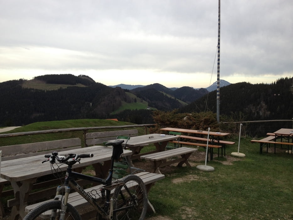
 

Tour gallery

Tour map and elevation profile

  • Open Street Map
  • Google
Minimum height 541 m Maximum height 1164 m Detailed view

More about the tour author

Freerider_84
Member since 2012

Send private message

Comments

GPS tracks

Trackpoints
  • GPX / Garmin Map Source (gpx) download
  • TCX / Garmin Training Center® (tcx) download
  • CRS / Garmin Training Center® (crs) download
  • Google Earth (kml) download
  • G7ToWin (g7t) download
  • TTQV (trk) download
  • Overlay (ovl) download
  • Fugawi (txt) download
  • Kompass (DAV) Track (tk) download
  • Track data sheet (pdf) download
  • Original file of the author (gpx) download

More about the tour author

Freerider_84
Member since 2012

Send private message
Share track
Add to my favorites
Remove from my favorites
Edit tags
My score
Rate
Track: von Bernhaupten zur Bründling Alm
Type: Mountain bike
Distance: 20,2 km
Evaluated on:
Duration:
Day(s)
Hour(s)
Minute(s)
Score: Landscape Fun factor Fitness Technique