


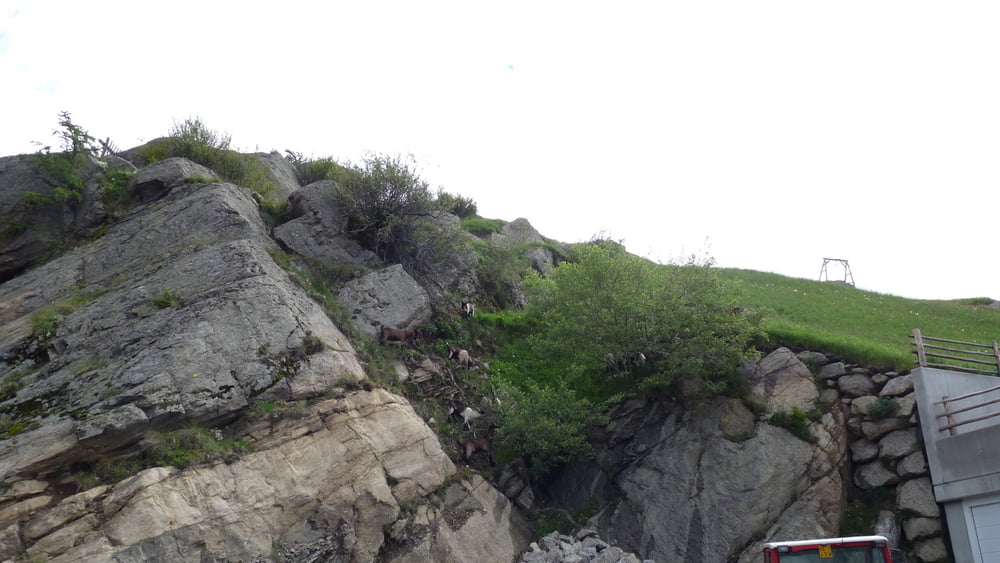
Schöne Wanderung ab Oberversanthof auf der Straße Richtung Meraner-Höhenweg Nr.24 (Rundweg Katharinaberg) hier besteht die Möglichkeit nach Kopfron über Weg 23 abzukürzen.Wir sind weiter auf der Strasse bis zum Dickhof -Dickalm - Mairalm Weg 10 gegangen. Ab hier weiter mit Weg 9 oder 10a nach Katharinaberg, 10a ist der schwierige aber dafür der schönere. In Unterpferl weiter auf Weg 24 nach Kopfron oder der längere nach Katharinenberg, 10a. In Katharinaberg zurück auf dem Rundweg, nach Oberversant.
Tour gallery


Tour map and elevation profile
Minimum height 1146 m
Maximum height 2103 m
More about the tour author

|
Comments

GPS tracks
Trackpoints-
GPX / Garmin Map Source (gpx) download
-
TCX / Garmin Training Center® (tcx) download
-
CRS / Garmin Training Center® (crs) download
-
Google Earth (kml) download
-
G7ToWin (g7t) download
-
TTQV (trk) download
-
Overlay (ovl) download
-
Fugawi (txt) download
-
Kompass (DAV) Track (tk) download
-
Track data sheet (pdf) download
-
Original file of the author (gpx) download
More about the tour author
|
|
Add to my favorites
Remove from my favorites
Edit tags
Open track
My score
Rate