


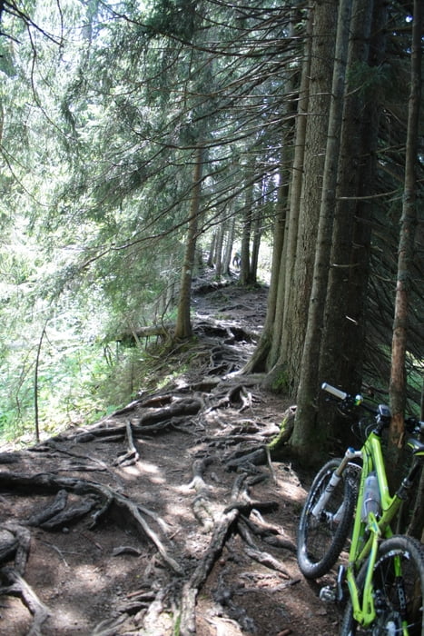
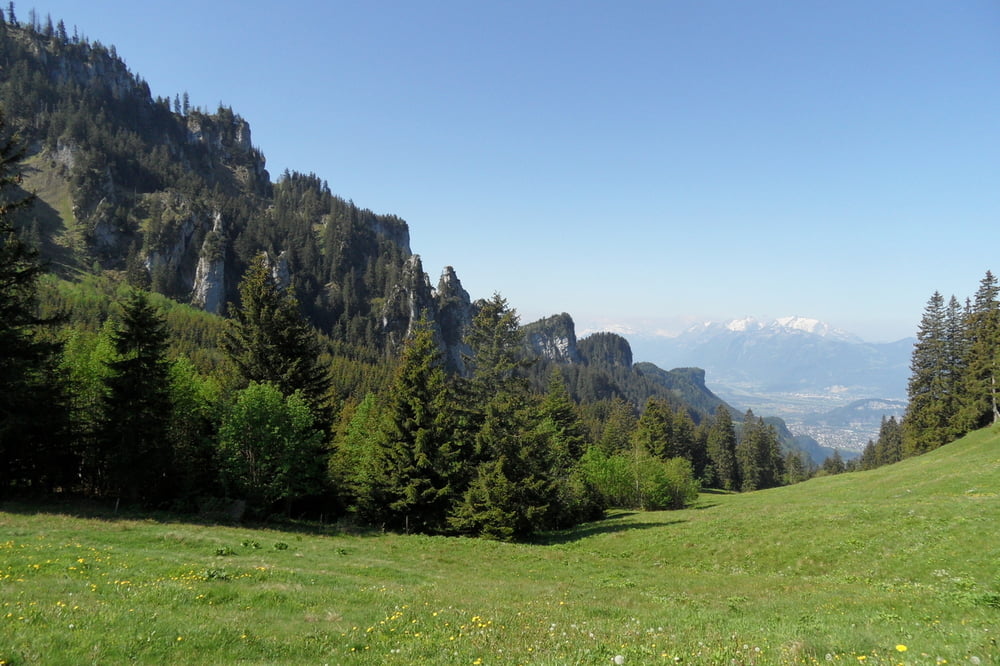
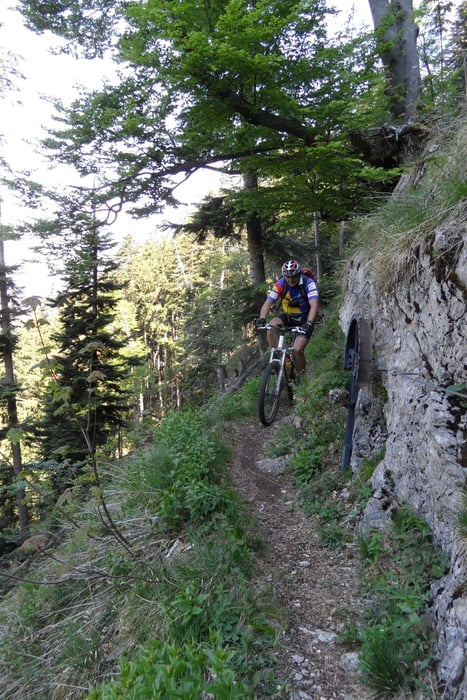
Anspruchsvolle Endurotour mit schweren Trails und ca. 1h Tragepassage (minus 750hm bei Einbeziehung Auto/Bus). Die Tour enthält 2längere und 2kürzere Abfahrten.
Man kann von Hohenems die Straße nach Schurtannen mit dem Auto hochfahren (ca. 800hm-15min). Am Wochende und am Feiertag kann man zum Auto holen den Bus nehmen (kein Radtransport).
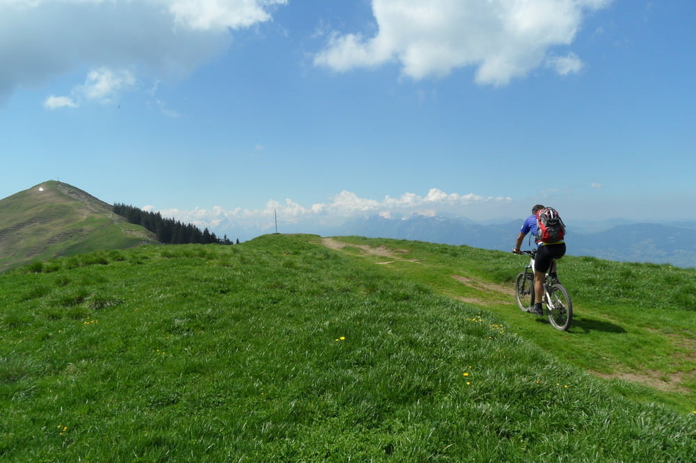
Wer gerne Trails hochfährt und Kondition hat, dem sei diese Strecke von Dornbirn nach Emsreute empfohlen.
Man kann von Hohenems die Straße nach Schurtannen mit dem Auto hochfahren (ca. 800hm-15min). Am Wochende und am Feiertag kann man zum Auto holen den Bus nehmen (kein Radtransport).
Wer gerne Trails hochfährt und Kondition hat, dem sei diese Strecke von Dornbirn nach Emsreute empfohlen.
Tour gallery
Tour map and elevation profile
Minimum height 444 m
Maximum height 1641 m
More about the tour author
|
|
skyhopper |
Comments

Parken am Gasthof Schurtannen oder in Hohenems am Emsbach (Wegpunkte)
GPS tracks
Trackpoints-
GPX / Garmin Map Source (gpx) download
-
TCX / Garmin Training Center® (tcx) download
-
CRS / Garmin Training Center® (crs) download
-
Google Earth (kml) download
-
G7ToWin (g7t) download
-
TTQV (trk) download
-
Overlay (ovl) download
-
Fugawi (txt) download
-
Kompass (DAV) Track (tk) download
-
Track data sheet (pdf) download
-
Original file of the author (gpx) download
More about the tour author
|
|
skyhopper |
Add to my favorites
Remove from my favorites
Edit tags
Open track
My score
Rate