


Von Bernhaupten geht es nach Siegsdorf und an der weißen Traun entlang bis Hörgering und weiter bis Hammer und Meisau. Am Sulzbergschneid entlang bis Oberhausen und auf Asphalt weiter bis Schmelz und am Fuße des Kienberges entlang bis Zwing. Von da an auf B305 abfahren bis Nägling.
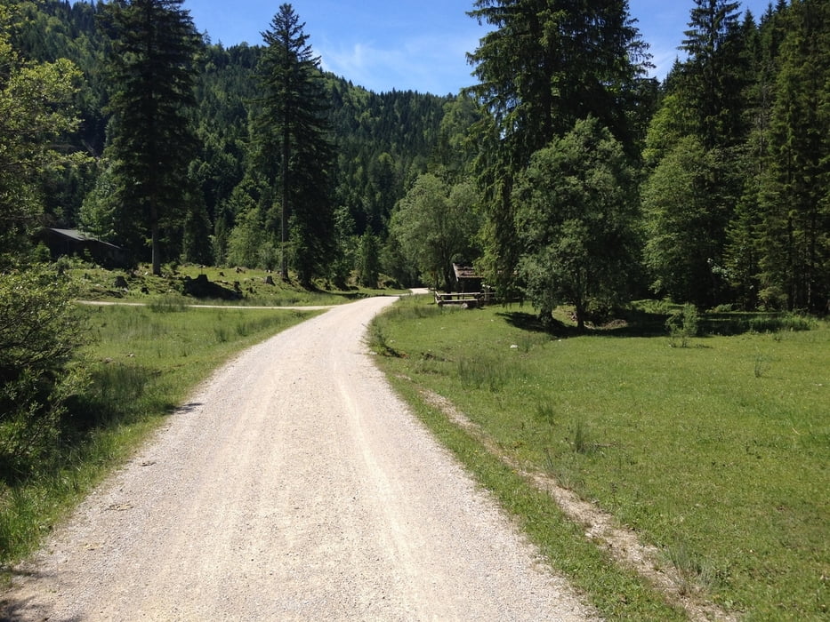
Anschließend über Schotter rauf zur Reiteralm und weiter zur Kaitlalm, bevor es wieder abwärts geht bis Laubau.
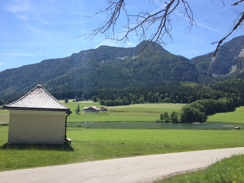
Am Biathlonleistungszentrum vorbei bis Seehaus und entlang der B305 zum Weitsee.Über Röthelmoos und Eschelmoos nach Kohlstadt und zurück nach Bergen.
Tour gallery


Tour map and elevation profile
Minimum height 558 m
Maximum height 1087 m
More about the tour author
|
|
Freerider_84 |
Comments

GPS tracks
Trackpoints-
GPX / Garmin Map Source (gpx) download
-
TCX / Garmin Training Center® (tcx) download
-
CRS / Garmin Training Center® (crs) download
-
Google Earth (kml) download
-
G7ToWin (g7t) download
-
TTQV (trk) download
-
Overlay (ovl) download
-
Fugawi (txt) download
-
Kompass (DAV) Track (tk) download
-
Track data sheet (pdf) download
-
Original file of the author (gpx) download
More about the tour author
|
|
Freerider_84 |
Add to my favorites
Remove from my favorites
Edit tags
Open track
My score
Rate