Login

Forgot your login?

Cookies have to be accepted!
Your browser's cookie functionality is disabled. Please enable this functionality.

Not a member yet?

Register now
Login

Available for registred users only

Log in to use this feature.

Forgot your login?

Cookies have to be accepted!
Your browser's cookie functionality is disabled. Please enable this functionality.

Not a member yet?

Register now
Filter
Categories
Advanced filters
  • Distance (km)
  • Height
Save filters Reset filter

TrackRank

QRCode

Technical data

Distance29,8 km Height170 m Way down104 m Duration01:25 h:m Date18.06.2012
Scores Author Landscape Fun factor Fitness Technique

Statistics

144 Views Scores 16 Downloads Average
Rate
  • Track data sheet
  • Directions
  • Downloads

Von Oberstenfeld über Großbottwar/ Steinheim / Murr nach Marbach.

In Marbach über die Brücke Richtung Ludwigsburg , weiter durch Ludwigsburg über Bahnhof zur Solituedalle nach Stammhein und Zuffenhausen.
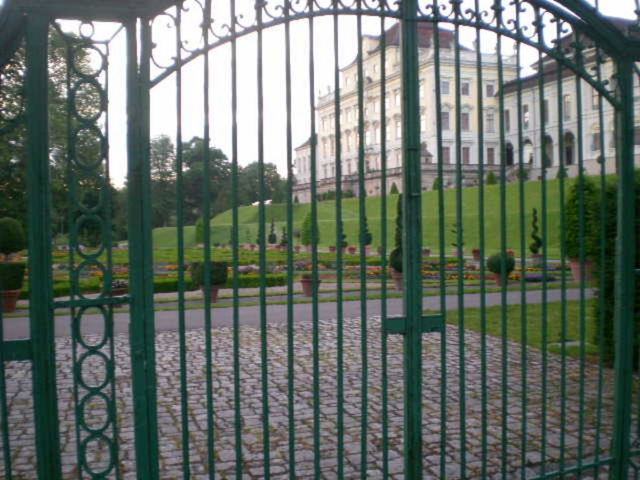


Tour gallery

Tour map and elevation profile

  • Open Street Map
  • Google
Minimum height 197 m Maximum height 353 m Detailed view

More about the tour author

Knut1893
Member since 2012

Send private message

Comments

GPS tracks

Trackpoints
  • GPX / Garmin Map Source (gpx) download
  • TCX / Garmin Training Center® (tcx) download
  • CRS / Garmin Training Center® (crs) download
  • Google Earth (kml) download
  • G7ToWin (g7t) download
  • TTQV (trk) download
  • Overlay (ovl) download
  • Fugawi (txt) download
  • Kompass (DAV) Track (tk) download
  • Track data sheet (pdf) download
  • Original file of the author (gpx) download

More about the tour author

Knut1893
Member since 2012

Send private message
Share track
Add to my favorites
Remove from my favorites
Edit tags
My score
Rate
Track: Oberstenfeld - Zuffenhausen
Type: Mountain bike
Distance: 29,8 km
Evaluated on:
Duration:
Day(s)
Hour(s)
Minute(s)
Score: Landscape Fun factor Fitness Technique