


Vorschlag Startpunkt: Kitzbühel Parkplatz P4 "Pfarrau"
Vorschlag Startpunkt: Kitzbühel "Schwarzsee"-Parkplatz
Streckenbeschreibung:
Vom Schwarzsee aus startet die Tour über den Golfplatz am Schwarzsee nach Reith.
Zu Fuße vom "Wilder Kaiser" fährt man dann weitesgehend parallel zur Reither Ache.
Die B178 ist kurz vor dem bekannten "Stanglwirt" mit Vorsicht zu überqueren (ACHTUNG: Permanent großes Verkehrsaufkommen!).
Die Strecke führt über den Aschauer Weg, Hinterkaiserweg nach St. Johann.
Weiter geht es über die Speckbacherstraße, den Römerweg, Achenweg wieder zurück nach Kitzbühel, P4 Parkplatz am Pfarrau oder Schwarzsee...
P.S. : Die GPS-Datei ist leider nicht ganz komplett! Der Schwarzsee ist in Kitzbühel City auch ausgeschildert...
Further information at
http://www.st.johann.tirol.at/Tour gallery
Tour map and elevation profile
Minimum height 653 m
Maximum height 823 m
More about the tour author
|
|
Ratzeputz |
Comments

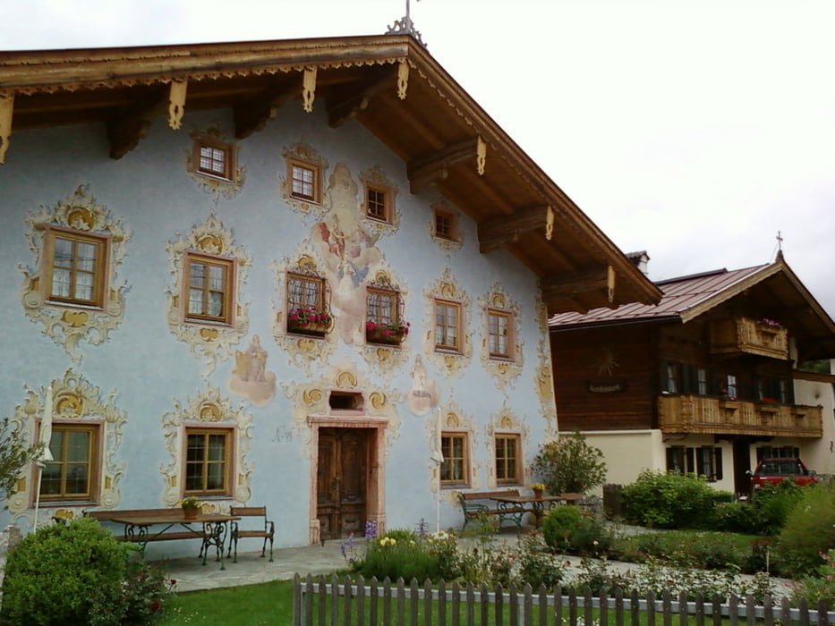
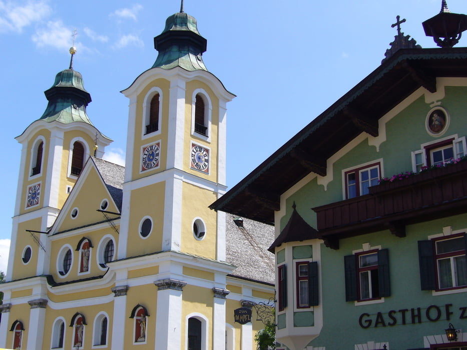
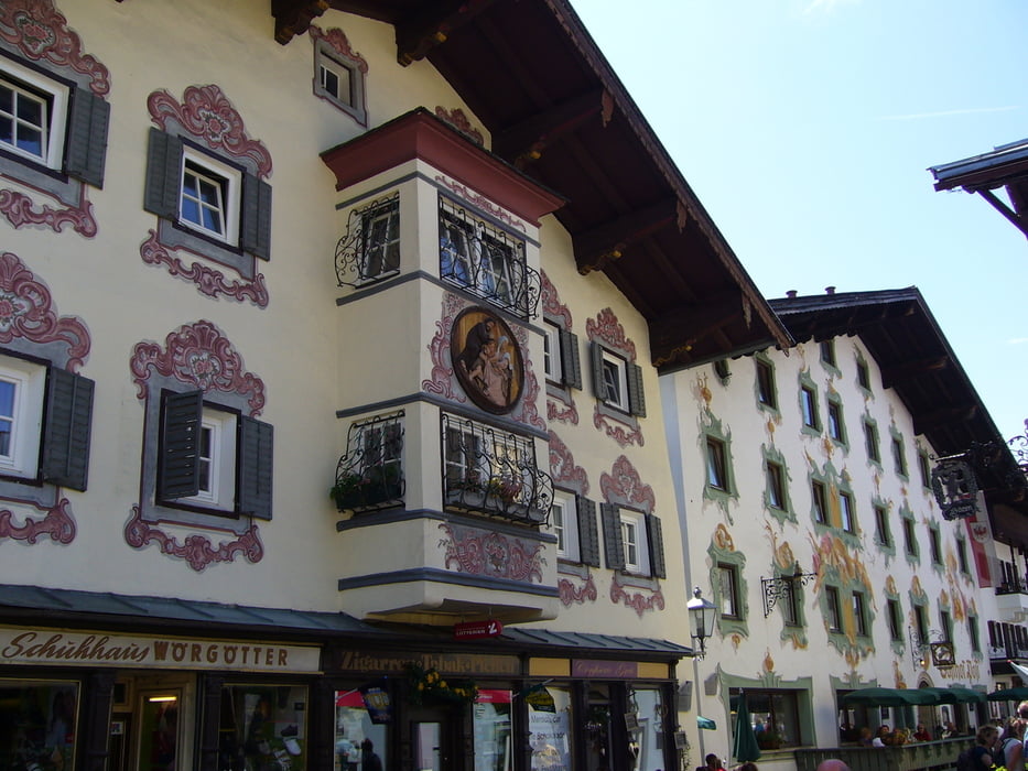
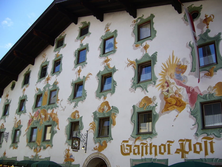
München, Kufstein, Going, St. Johann, Kitzbühel, Schwarzsee
GPS tracks
Trackpoints-
GPX / Garmin Map Source (gpx) download
-
TCX / Garmin Training Center® (tcx) download
-
CRS / Garmin Training Center® (crs) download
-
Google Earth (kml) download
-
G7ToWin (g7t) download
-
TTQV (trk) download
-
Overlay (ovl) download
-
Fugawi (txt) download
-
Kompass (DAV) Track (tk) download
-
Track data sheet (pdf) download
-
Original file of the author (gpx) download
More about the tour author
|
|
Ratzeputz |
Add to my favorites
Remove from my favorites
Edit tags
Open track
My score
Rate