


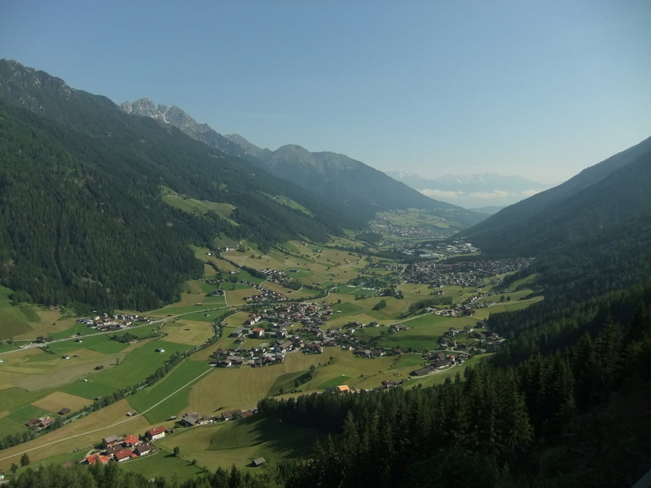
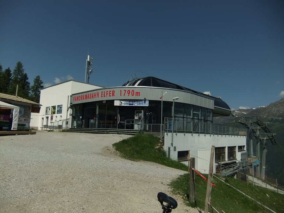
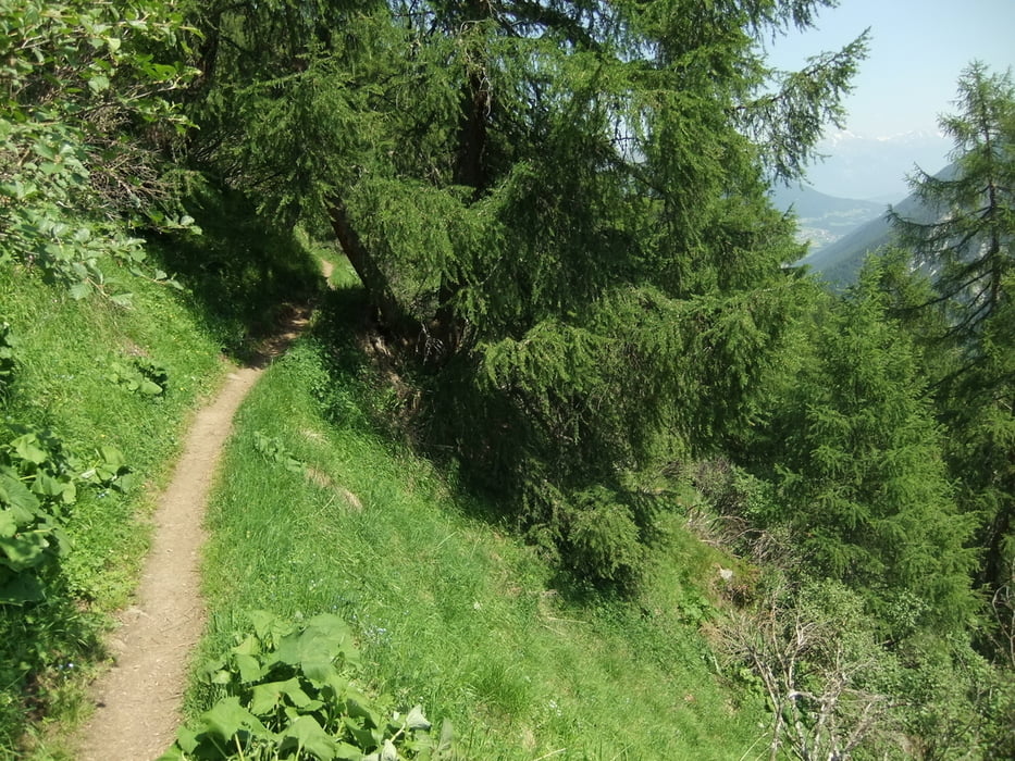
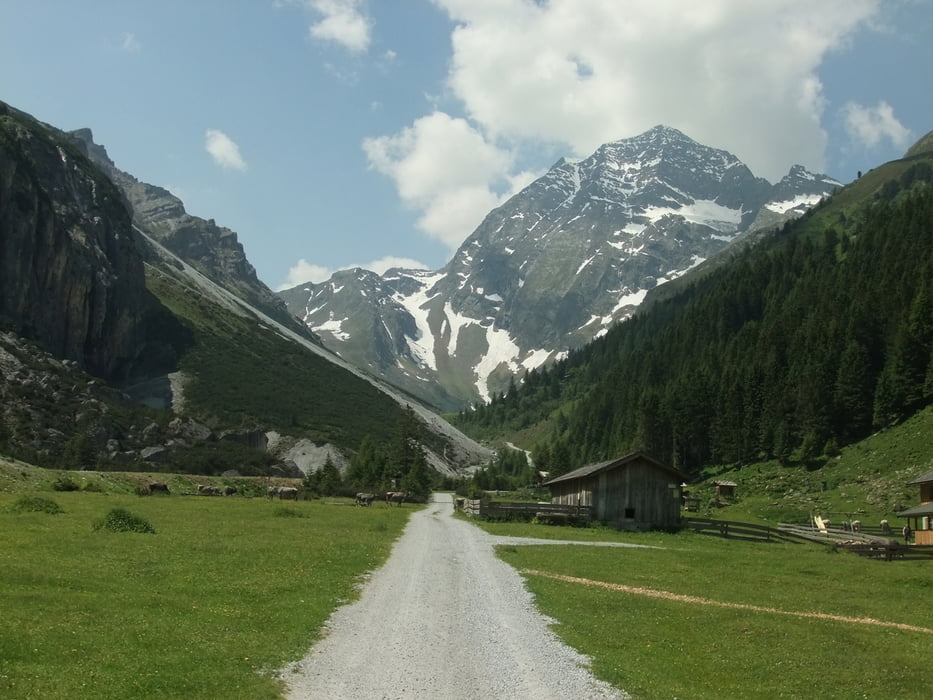
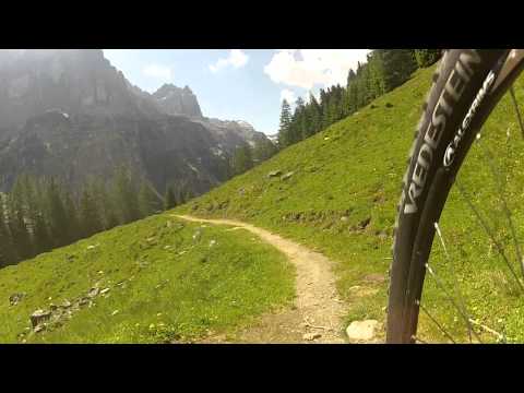
Hier eine ganz nette Rundtour an der Südflanke des Stubaitals (= schattiger, gut an heißen Tagen). Es geht stark bewaldet von Neustift (Kreisverkehr) rauf zur Bergstation des Elferlifts, nicht ohne noch einen schönen Uphill-Trail am Anfang mitzunehmen, dann auf der Südseite hinunter ins Pinnistal. Dabei wird ein Trail verwendet, der nur in der zweiten Hälfte wirklich Flow hat, während die erste Hälfte eher verblockt und schwierig ist. Allein für die zweite Hälfte lohnt es sich aber. Im Pinnistal kann dann eingekehrt werden, bevor es auf Schotter richtig schön steil hinab ins Stubaital nach Neustift zurück geht.
Tour gallery
Tour map and elevation profile
Minimum height 982 m
Maximum height 1812 m
More about the tour author
|
|
BergBiken |
Comments

In Neustift liegt der Billa-Supermarkt direkt an der Straße (von Innsbruck kommend links). Auf dessen Parkplatz parkt sich's am komfortabelsten :-) Im ÖPNV geht's am besten nach Fulpmes per Straßenbahn, dann ca. 8 km unschöne Straße bis Neustift.
GPS tracks
Trackpoints-
GPX / Garmin Map Source (gpx) download
-
TCX / Garmin Training Center® (tcx) download
-
CRS / Garmin Training Center® (crs) download
-
Google Earth (kml) download
-
G7ToWin (g7t) download
-
TTQV (trk) download
-
Overlay (ovl) download
-
Fugawi (txt) download
-
Kompass (DAV) Track (tk) download
-
Track data sheet (pdf) download
-
Original file of the author (gpx) download
More about the tour author
|
|
BergBiken |
Add to my favorites
Remove from my favorites
Edit tags
Open track
My score
Rate