


Parken in Urmatt am Bahnhof,
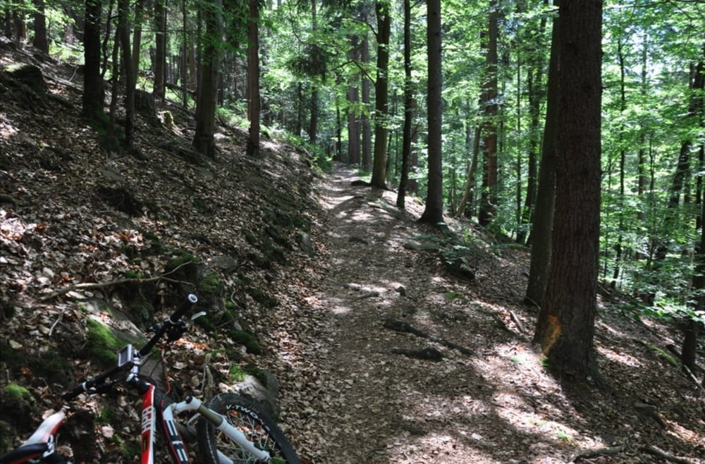
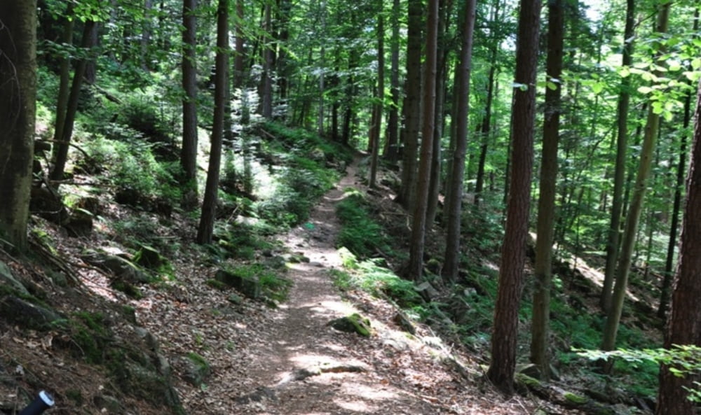
wenig Teer, viel Forstweg, einige schöne Trails.
Zeit sollte man ggf. einplanen, um das ehemalige KZ Struthof zu beisichtigen.
Am Ende der Tour (Hahnenkopf), ist die Wegfindung ohne GPS schwierig, da der Wanderweg (GR532) anscheinend nicht mehr "supported" wird, zugewachsen, verschwunden...
Einkehren in Rothlach, dem dortigen Forsthaus.
Further information at
http://randypanguitch.wordpress.com/mtb-touren/tagestouren/tagestouren_frankreich/tt_f_urmattTour gallery


Tour map and elevation profile
Minimum height 227 m
Maximum height 1027 m
More about the tour author
|
|
RandB |
Comments

GPS tracks
Trackpoints-
GPX / Garmin Map Source (gpx) download
-
TCX / Garmin Training Center® (tcx) download
-
CRS / Garmin Training Center® (crs) download
-
Google Earth (kml) download
-
G7ToWin (g7t) download
-
TTQV (trk) download
-
Overlay (ovl) download
-
Fugawi (txt) download
-
Kompass (DAV) Track (tk) download
-
Track data sheet (pdf) download
-
Original file of the author (gpx) download
More about the tour author
|
|
RandB |
Add to my favorites
Remove from my favorites
Edit tags
Open track
My score
Rate