


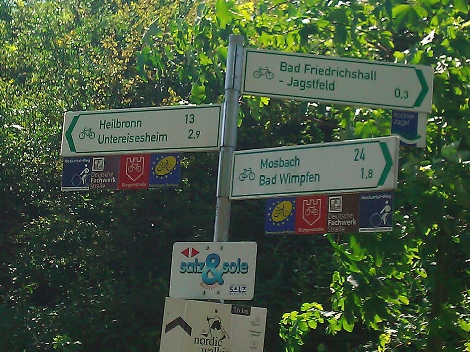
Diese Tour, in meinem Fall mit Start und Ziel im Kurpark von Bad Rappenau, bietet ein schnelles Kennenlernen der Gegend rund um Bad Rappenau, Bad Wimpfen, Bad Friedrichshall und Gundelsheim. Die Radwege sind gut ausgebaut und ordentlich beschildert. Gefunden hatte ich den Track auf der Seite "Radroutenplaner-BW.de"; die Einstufung in die Kategorie "leicht" konnte ich aber nicht nachvollziehen, da auf dieser Route aufgrund des Routenprofils schon eine gute Basiskondition erforderlich ist. Mir hat die Route sehr gut gefallen, die Landschaft ist einfach wunderbar.
Further information at
http://www.radroutenplaner-bw.deTour gallery

Tour map and elevation profile
Minimum height 139 m
Maximum height 252 m
More about the tour author
|
|
Herbie1959 |
Comments

Autobahn A 6 bis Abfahrt Bad Rappenau, von dort Richtung Kureinrichtungen. Einstieg in die Route am Kurpark.
GPS tracks
Trackpoints-
GPX / Garmin Map Source (gpx) download
-
TCX / Garmin Training Center® (tcx) download
-
CRS / Garmin Training Center® (crs) download
-
Google Earth (kml) download
-
G7ToWin (g7t) download
-
TTQV (trk) download
-
Overlay (ovl) download
-
Fugawi (txt) download
-
Kompass (DAV) Track (tk) download
-
Track data sheet (pdf) download
-
Original file of the author (gpx) download
More about the tour author
|
|
Herbie1959 |
Add to my favorites
Remove from my favorites
Edit tags
Open track
My score
Rate